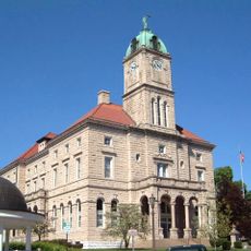
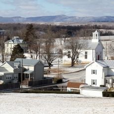
Brocks Gap, Water gap in Rockingham County, Virginia, US.
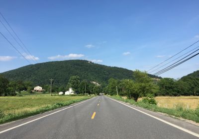
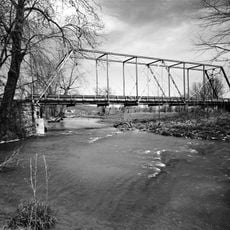
Brocks Gap is a water gap in the Blue Ridge Mountains of Virginia where the North Fork of the Shenandoah River cuts through Little North Mountain. The natural passage sits at roughly 1,073 feet elevation and forms a significant geographic corridor in the region.
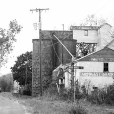
The area became a target for a proposed dam project by the U.S. Army Corps of Engineers beginning in the 1920s, though the project was never built. The idea was eventually abandoned after local communities and residents voiced strong opposition.
Local residents organized strong opposition to the dam project throughout the 1960s, leading to its withdrawal in 1967 to protect their communities.
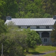
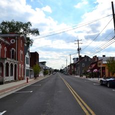
Virginia Route 259 passes through the gap and connects the communities of Broadway and Timberville. This roadway serves as the main throughway for travelers passing through the area.
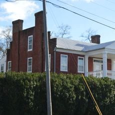
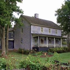
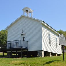
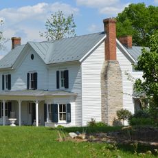
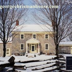
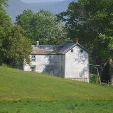
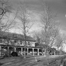
The proposed dam would have created a reservoir covering 2,810 acres, affecting 68 farms, 47 houses, and multiple community buildings.
The community of curious travelers
AroundUs brings together thousands of curated places, local tips, and hidden gems, enriched daily by 60,000 contributors worldwide.