Rockingham County

Log in to your account

AroundUs is a community-driven map of interesting places, built by curious explorers like you. It grows with every review, story, and photo you share.
Connect to save your favorite spots, contribute locations, and create personalized routes.
By continuing, you accept our Terms and Conditions and our Privacy Policy
Add to collection
Map
Suggest a change
Share

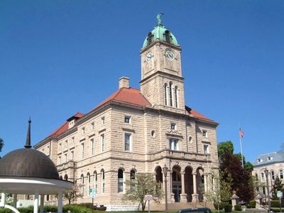
Rockingham County, Administrative county in Shenandoah Valley, Virginia, United States

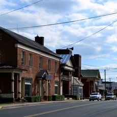
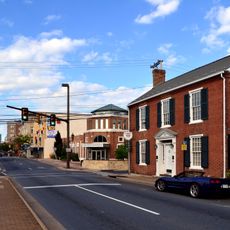
Rockingham County is an administrative county in Virginia's Shenandoah Valley, spanning diverse terrain between mountain ranges with Harrisonburg as its seat. The area includes five separate incorporated towns alongside unincorporated rural communities, creating a mix of small-town and farmland landscapes.

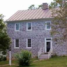
The county was established in 1778 and named after Charles Watson-Wentworth, Marquess of Rockingham, a British political figure. Early settlers developed it as a farming region, and over time diverse religious communities, especially Anabaptists, became central to the area's development and character.

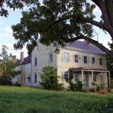
Mennonite and Anabaptist communities have shaped daily life here for generations, visible in local farming practices, craftsmanship, and how neighborhoods gather and work together. This heritage influences everything from architecture to social traditions that visitors notice while exploring rural areas.

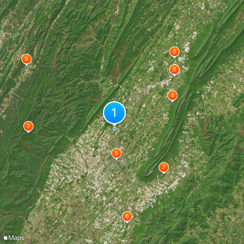
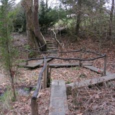
The area is best explored by car since attractions like caves, resorts, and hiking trails spread across rural terrain with limited public transportation. Summer brings crowds to outdoor activities, while spring and fall offer milder weather for trails and driving through farmland.

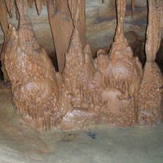
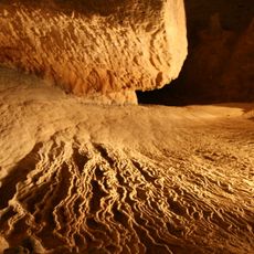
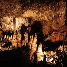
Endless Caverns within the county is a living cave system that continues to grow with water flow, not a static tourist attraction. Most visitors overlook that actively forming caves like this are geologically rare in the eastern United States.

Location: Virginia

Inception: 1778

Capital city: Harrisonburg

Shares border with: Hardy County, Pendleton County, Shenandoah County, Page County, Greene County, Albemarle County, Augusta County, Harrisonburg

Website: http://rockinghamcountyva.gov

GPS coordinates: 38.52000,-78.88000

Latest update: December 6, 2025 22:05

Photos
Around this place
Show the full map
Shenandoah Mountain
United States of America

Shenandoah Mountain

26.5 km
Bridgeforth Stadium and Zane Showker Field
United States of America

Bridgeforth Stadium and Zane Showker Field

9.4 km
Grand Caverns
United States of America

Grand Caverns

29.2 km
New Market Battlefield State Historical Park
United States of America

New Market Battlefield State Historical Park

24.6 km
Guns into Plowshares
United States of America

Guns into Plowshares

5.6 km
Meems Bottom Covered Bridge
United States of America

Meems Bottom Covered Bridge

29.7 km
James Madison University Convocation Center
United States of America

James Madison University Convocation Center

9.9 km
Thomas Harrison House
United States of America

Thomas Harrison House

8.1 km
Joshua Wilton House
United States of America

Joshua Wilton House

8.4 km
Boxerwood Gardens
United States of America

Boxerwood Gardens

4.9 km
Catherine Furnace
United States of America

Catherine Furnace

21.7 km
Short Mountain
United States of America

Short Mountain

41.3 km
Woodrow Wilson Hall
United States of America

Woodrow Wilson Hall

9.1 km
Mount Jackson Historic District
United States of America

Mount Jackson Historic District

32.5 km
Stokesville Observatory
United States of America

Stokesville Observatory

30.2 km
Lincoln Homestead and Cemetery
United States of America

Lincoln Homestead and Cemetery

6.3 km
Edinburg Mill
United States of America

Edinburg Mill

43.1 km
Harrisonburg Downtown Historic District
United States of America

Harrisonburg Downtown Historic District

8.2 km
Mannheim
United States of America

Mannheim

3.9 km
Zirkle Mill
United States of America

Zirkle Mill

25.4 km
Lucy F. Simms School
United States of America

Lucy F. Simms School

7.5 km
Daniel Harrison House
United States of America

Daniel Harrison House

12.4 km
Anthony Hockman House
United States of America

Anthony Hockman House

8 km
Bogota (Port Republic, Virginia)
United States of America

Bogota (Port Republic, Virginia)

25.8 km
Wilkins Farm
United States of America

Wilkins Farm

42.7 km
Rockingham County Courthouse
United States of America

Rockingham County Courthouse

7.9 km
Turner Ashby Monument
United States of America

Turner Ashby Monument

10.9 km
Fort Egypt
United States of America

Fort Egypt

34.3 km
Show the full map
Reviews

Visited this place? Tap the stars to rate it and share your experience / photos with the community! Try now! You can cancel it anytime.

Administrative divisions
« Rockingham County - Administrative county in Shenandoah Valley, Virginia, United States » is provided by Around Us (aroundus.com). Images and texts are derived from Wikimedia project under a Creative Commons license. You are allowed to copy, distribute, and modify copies of this page, under the conditions set by the license, as long as this note is clearly visible.

Discover hidden gems everywhere you go!

From secret cafés to breathtaking viewpoints, skip the crowded tourist spots and find places that match your style. Our app makes it easy with voice search, smart filtering, route optimization, and insider tips from travelers worldwide. Download now for the complete mobile experience.

Around Us App Screenshot

A unique approach to discovering new places

Le Figaro

All the places worth exploring

France Info

A tailor-made excursion in just a few clicks

20 Minutes