
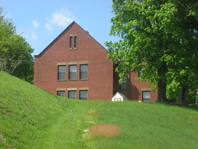
West School, NRHP-listed in Perry County
Location: Crooksville
Inception: 1904
GPS coordinates: 39.77080,-82.10310
Latest update: September 23, 2025 15:09
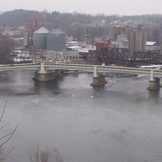
Y-Bridge
20.3 km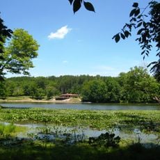
Blue Rock State Park
22.4 km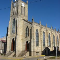
St. Thomas Aquinas Church
20.9 km
Masonic Temple Building
20.6 km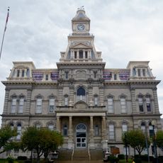
Muskingum County Courthouse
20.6 km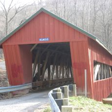
Helmick Mill Covered Bridge
14.9 km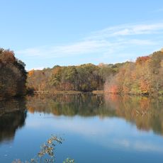
Perry State Forest
9.1 km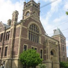
Perry County Courthouse
11 km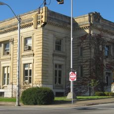
United States Post Office and Federal Building
20.5 km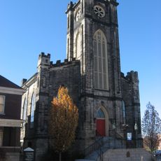
St. James Episcopal Church
20.9 km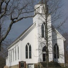
St. John's Evangelical Lutheran Church
12 km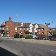
Alameda Apartments
21.1 km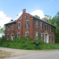
Randolph Mitchell House
21.8 km
Zanesville YWCA
20.7 km
Adams Covered Bridge
17.4 km
Old Perry County Courthouse
17.3 km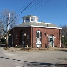
Glenford Bank
22.6 km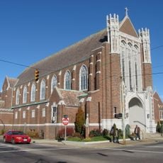
St. John's Lutheran Church
20.8 km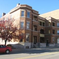
Adena Court Apartments
20.5 km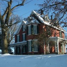
William B. Harris House
21.1 km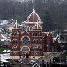
St. Nicholas' Catholic Church
20.8 km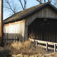
Bowman Mill Covered Bridge
22.3 km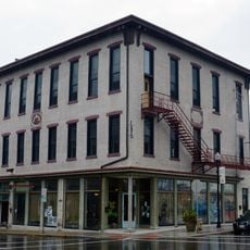
Lafayette Lodge No. 79
20.7 km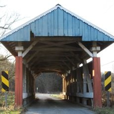
Parks Covered Bridge
17.6 km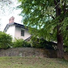
Mound House
20.4 km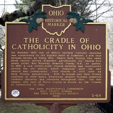
A Seed of Catholic Education in Ohio
17 km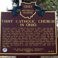
First Catholic Church in Ohio
14.8 km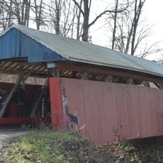
Jacks Hollow Covered Bridge
16.2 kmReviews
Visited this place? Tap the stars to rate it and share your experience / photos with the community! Try now! You can cancel it anytime.
Discover hidden gems everywhere you go!
From secret cafés to breathtaking viewpoints, skip the crowded tourist spots and find places that match your style. Our app makes it easy with voice search, smart filtering, route optimization, and insider tips from travelers worldwide. Download now for the complete mobile experience.

A unique approach to discovering new places❞
— Le Figaro
All the places worth exploring❞
— France Info
A tailor-made excursion in just a few clicks❞
— 20 Minutes