
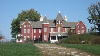
Sullivan County Poor Home
Sullivan County Poor Home, historic building in Indiana, USA
Location: Hamilton Township
GPS coordinates: 39.09750,-87.38250
Latest update: September 23, 2025 14:26

Shakamak State Park
14.7 km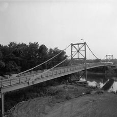
Hutsonville Bridge
23.6 km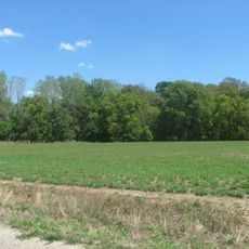
Stoner Site
24.5 km
Riverton Site
18.7 km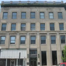
American Trust and Savings Bank
21.3 km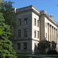
Sullivan County Courthouse
2.2 km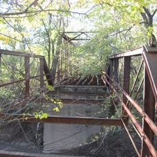
Aqueduct Bridge
30.9 km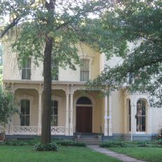
Sage-Robinson-Nagel House
39.5 km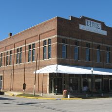
Fife Opera House
22.6 km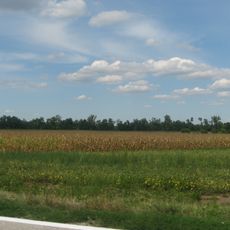
Swan Island Site
30.4 km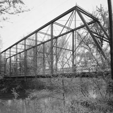
Feeder Dam Bridge
35.2 km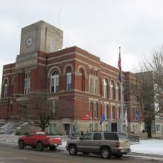
Greene County Courthouse
39.2 km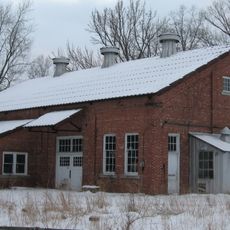
Tide Water Pumping Station
33.2 km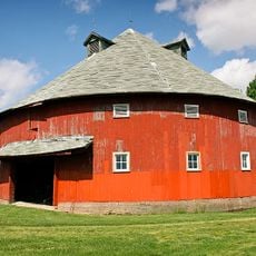
Frank Senour Round Barn
27 km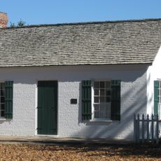
John B. Harper House
22.4 km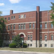
Crawford County Courthouse
32.5 km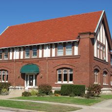
Linton Public Library Building
20.2 km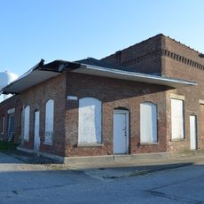
Shelburn Interurban Depot-THI&E Interurban Depot
9 km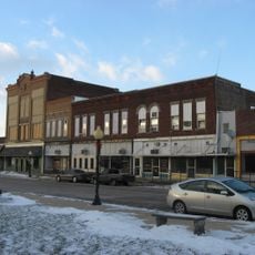
Linton Commercial Historic District
20 km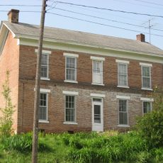
Alfred Simonson House
33.9 km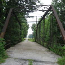
Jeffers Bridge
35.7 km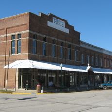
Palestine Commercial Historic District
22.6 km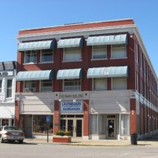
Sherman Building
2.3 km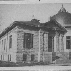
Sullivan County Public Library
2 km
Candles Holocaust Museum & Education Center
39.4 km
Busseron Creek Bridge
6.5 km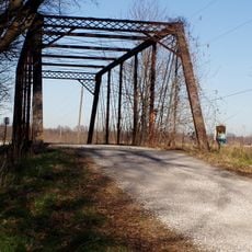
Black Creek Bridge
17.2 km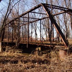
Hamilton Bridge
6.6 kmReviews
Visited this place? Tap the stars to rate it and share your experience / photos with the community! Try now! You can cancel it anytime.
Discover hidden gems everywhere you go!
From secret cafés to breathtaking viewpoints, skip the crowded tourist spots and find places that match your style. Our app makes it easy with voice search, smart filtering, route optimization, and insider tips from travelers worldwide. Download now for the complete mobile experience.

A unique approach to discovering new places❞
— Le Figaro
All the places worth exploring❞
— France Info
A tailor-made excursion in just a few clicks❞
— 20 Minutes