
Riverside Road, road in Chipping Norton, New South Wales
Location: New South Wales
Location: City of Liverpool
GPS coordinates: -33.91839,150.96842
Latest update: November 21, 2025 21:12


Bankstown Airport Air Traffic Control Tower
1.3 km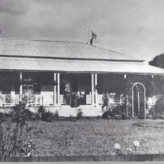
The Homestead (Georges Hall)
1.1 km
Lina's Beach
735 m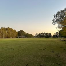
Childs Park Playing Fields
1.1 km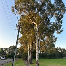
Avenue of Trees
655 m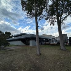
61-63 Governor Macquarie Drive
604 m
Podmore Beach
967 m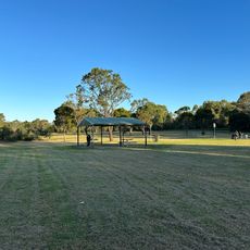
Farshad Point
723 m
Wiiliam Long Reserve
1 km
65 Governor Macquarie Drive, Chipping Norton
586 m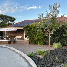
Cooloola
1.3 km
Davy Robinson Park
1.4 km
Cunningham Beach
988 m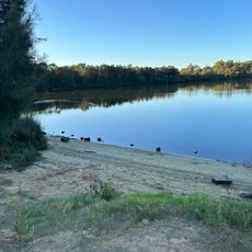
Lawrence Beach
506 m
Black Muscat Park
778 m
Molly Moore Park
1.3 km
Wendlebury Park
1.2 km
Deepwater Park
1.3 km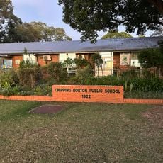
Chipping Norton Public School
1.2 km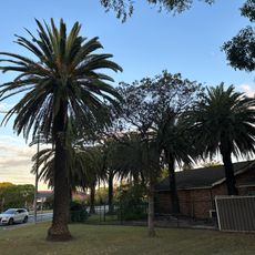
Palm Trees (Phoenix Canariensis)
1.4 km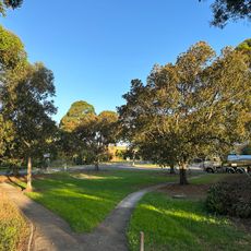
Gager Reserve
403 m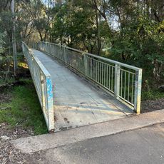
Heron Park footbridge
623 m
TFN Hire Services Chipping Norton
565 m
JJL Transport Pty Ltd
265 m
Horse trough
1.2 km
57-59 Governor Macquarie Drive, Chipping Norton
601 m
Chipping Norton Sydney Water Pumping Station
1.4 km
127 Epsom Road, Chipping Norton
1.3 kmReviews
Visited this place? Tap the stars to rate it and share your experience / photos with the community! Try now! You can cancel it anytime.
Discover hidden gems everywhere you go!
From secret cafés to breathtaking viewpoints, skip the crowded tourist spots and find places that match your style. Our app makes it easy with voice search, smart filtering, route optimization, and insider tips from travelers worldwide. Download now for the complete mobile experience.

A unique approach to discovering new places❞
— Le Figaro
All the places worth exploring❞
— France Info
A tailor-made excursion in just a few clicks❞
— 20 Minutes