City of Liverpool, Local government area in South Western Sydney, Australia
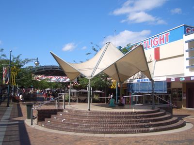
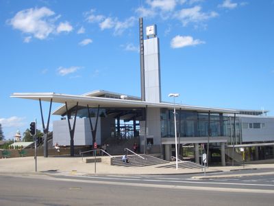
City of Liverpool is a local government area in southwestern Sydney that covers several neighborhoods including Ashcroft, Casula, and Holsworthy. The council administers this region and provides residents with various public services and support.
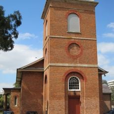
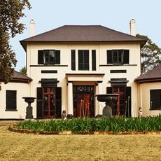
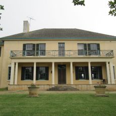
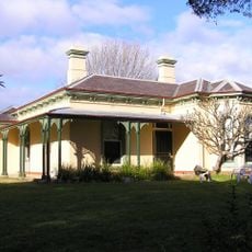
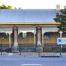
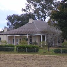
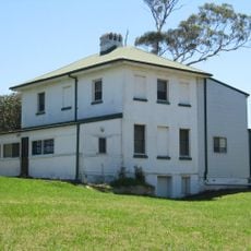
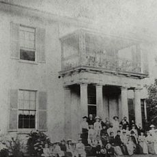
The area was established in 1810 by Governor Lachlan Macquarie as an agricultural center and named after the Earl of Liverpool. This early development set the foundation for the region's later growth as a populated locality.
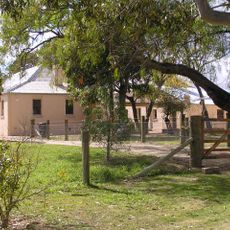
The land was originally home to the Cabrogal Clan of the Darug Nation, whose connection remains acknowledged today. This heritage shapes how the community understands its roots and identity.
Visitors and residents can access various services through the council's online platform, including submitting applications and reporting maintenance issues. The council's services are designed to support the practical needs of the community.
The council has granted Freedom of Entry to three organizations, including the Royal Australian Engineers and an air squadron based in the area. This recognition reflects the region's historical ties to military and technical traditions.
Location: New South Wales
Capital city: Liverpool
Elevation above the sea: 15 m
Phone: +61298219222
Email: lcc@liverpool.nsw.gov.au
Website: http://liverpool.nsw.gov.au
GPS coordinates: -33.93333,150.91667
Latest update: December 7, 2025 10:06
Villawood Immigration Detention Centre
9.4 km
Camelot, Kirkham
22.6 km
Defence Force Correctional Establishment
7.6 km
Lansdowne Bridge
6.7 km
Sydney International Shooting Centre
10.3 km
Ingleburn Army Camp
7.4 km
Upper Canal System
8.4 km
Horningsea Park
6.7 km
Collingwood House
171 m
St Luke's Anglican Church, Liverpool
1.5 km
Denham Court
8.6 km
Glenfield Farm
2.9 km
Liverpool Weir
1.4 km
Oran Park
17.7 km
Inspire Church
4.6 km
Fairfield Showground
7.5 km
The Homestead, Chipping Norton
4.9 km
Casula Powerhouse Arts Centre
1.8 km
Church of the Holy Innocents
14.1 km
Raby, Catherine Field
14 km
The Homestead (Georges Hall)
6.1 km
Old Courthouse
1.5 km
Whitlam Centre
916 m
Kelvin
16.5 km
Bonnyrigg House
5.9 km
Wivenhoe
22.6 km
Cecil Hills Farm
7.9 km
Rosebank
901 mVisited this place? Tap the stars to rate it and share your experience / photos with the community! Try now! You can cancel it anytime.
Discover hidden gems everywhere you go!
From secret cafés to breathtaking viewpoints, skip the crowded tourist spots and find places that match your style. Our app makes it easy with voice search, smart filtering, route optimization, and insider tips from travelers worldwide. Download now for the complete mobile experience.
A unique approach to discovering new places❞
— Le Figaro
All the places worth exploring❞
— France Info
A tailor-made excursion in just a few clicks❞
— 20 Minutes