
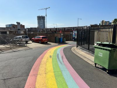
Railway Serviceway, street in Liverpool, New South Wales
Location: New South Wales
Location: City of Liverpool
GPS coordinates: -33.92468,150.92564
Latest update: November 23, 2025 14:07
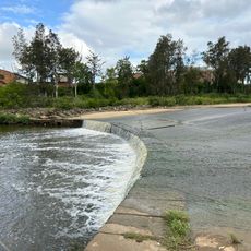
Liverpool Weir
261 m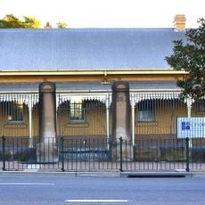
Old Courthouse
186 m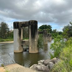
Liverpool Railway Bridge
269 m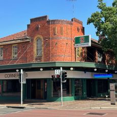
The Corner Pub
269 m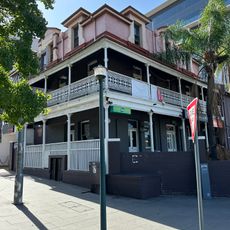
Commercial Hotel
68 m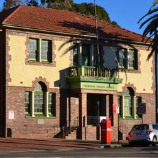
Memorial School of Arts
259 m
Macquarie Hotel
250 m
Macquarie Monument
223 m
Golden Fleece Hotel
78 m
A. E. Smith Boer War Memorial
263 m
291-293 Macquarie Street State Bank
249 m
Del Rosa
224 m
16 Scott Street, Liverpool
96 m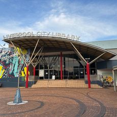
Liverpool City Library
315 m
Dr James Pirie Community Centre
268 m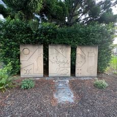
Liverpool City Heritage Wall
203 m
80 Terminus Street, Liverpool
297 m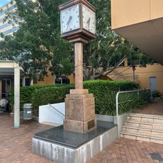
John Edmondson V.C. Memorial Clock
311 m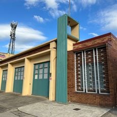
Liverpool Fire Station
271 m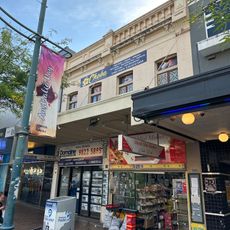
275-277 Macquarie Street, Liverpool
241 m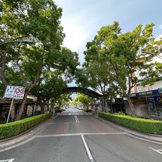
Macquarie Street
229 m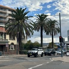
Row of Three Palm Trees
267 m
TAFE SWSi Education and Training Centre
215 m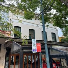
261-263 Macquarie Street, Liverpool
248 m
14 Scott Street, Liverpool
117 m
Telstra Liverpool Exchange
210 m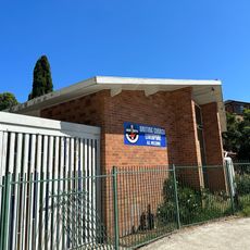
Liverpool Uniting Church
293 m
Tennis First Academy
316 mReviews
Visited this place? Tap the stars to rate it and share your experience / photos with the community! Try now! You can cancel it anytime.
Discover hidden gems everywhere you go!
From secret cafés to breathtaking viewpoints, skip the crowded tourist spots and find places that match your style. Our app makes it easy with voice search, smart filtering, route optimization, and insider tips from travelers worldwide. Download now for the complete mobile experience.

A unique approach to discovering new places❞
— Le Figaro
All the places worth exploring❞
— France Info
A tailor-made excursion in just a few clicks❞
— 20 Minutes