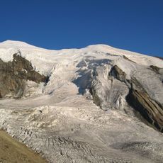
Inner Rothorn, mountain in Switzerland
Location: Valais
Elevation above the sea: 3,455 m
GPS coordinates: 46.16370,7.98133
Latest update: November 17, 2025 23:58
Weissmies
4.7 km
Lagginhorn
1.8 km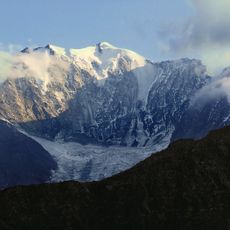
Fletschhorn
1.7 km
Trift Glacier
3.6 km
Jegihorn
1.6 km
Böshorn
4 km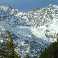
Rossbode Glacier
3.6 km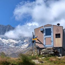
Laggin Biwak
4.9 km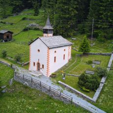
St. Antonius chapel
4.8 km
Äusser Rothorn
2 km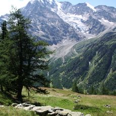
Senggchuppa
2 km
Rothorn
3.9 km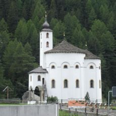
Round church of the Assumption of the Virgin Mary
4.4 km
Holy Trinity chapel
5 km
Building with water driven equipment
4.9 km
Trifthorn
5 km
Jegiturm
537 m
Griessernuhorn
4.6 km
Simpeler Weizstadel
5.2 km
Schwarzmies
4.3 km
Gamserchopf
2.5 km
Simelihorn
5 km
Scenic viewpoint
3.2 km
Scenic viewpoint
2.9 km
Wegweiser Abzweigung Gletscherseewini / Saas Balen
2.7 km
Scenic viewpoint
2.2 km
Waterfall
4.8 km
Waterfall
4 kmReviews
Visited this place? Tap the stars to rate it and share your experience / photos with the community! Try now! You can cancel it anytime.
Discover hidden gems everywhere you go!
From secret cafés to breathtaking viewpoints, skip the crowded tourist spots and find places that match your style. Our app makes it easy with voice search, smart filtering, route optimization, and insider tips from travelers worldwide. Download now for the complete mobile experience.

A unique approach to discovering new places❞
— Le Figaro
All the places worth exploring❞
— France Info
A tailor-made excursion in just a few clicks❞
— 20 Minutes