
Nadzemní chodba, v okrese Karviná
Location: Fryštát
Part of: Lottyhaus
GPS coordinates: 49.85361,18.54156
Latest update: June 12, 2025 09:10
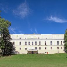
Fryštát chateau
42 m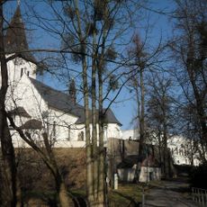
Fryštát
41 m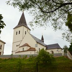
Church of the Exaltation of the Holy Cross in Fryštát
113 m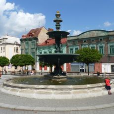
Litinová kašna
86 m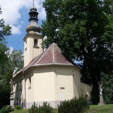
Church of Saint Mark (Karviná-Fryštát)
234 m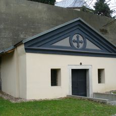
Zámecká rodová hrobka Larisch-Mönnichů
131 m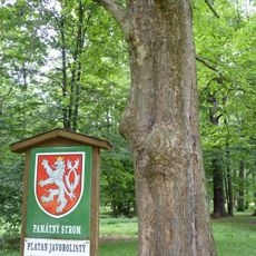
Platan v parku Boženy Němcové
231 m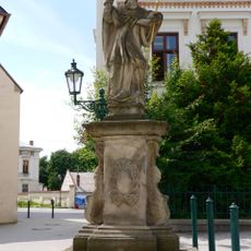
Statuo de sankta Patriko (Karviná)
83 m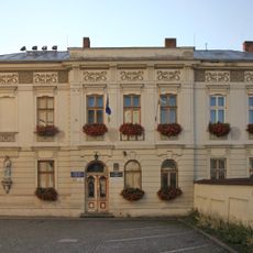
Parafia Podwyższenia Krzyża Świętego w Karwinie
133 m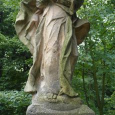
Statue of Virgin Mary in Fryštát
119 m
Měšťanský dům
57 m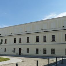
Lottyhaus
30 m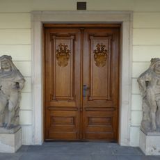
Dva Herkulové
36 m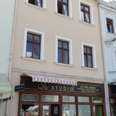
Měšťanský dům
53 m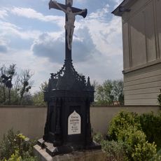
Iron cross in Fryštát
136 m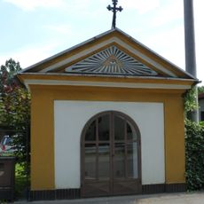
Chapel in Fryštát
338 m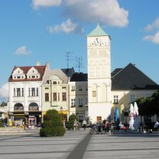
Town hall in Karviná
101 m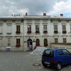
Rectory in Fryštát
145 m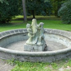
Fountain in castle garden in Fryštát
220 m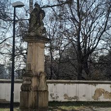
Socha svatého Jana Nepomuckého 1747
83 m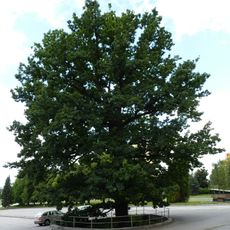
Dub u Trefy (Karviná)
295 m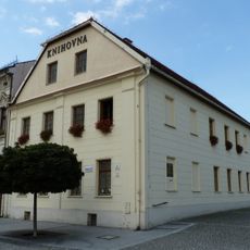
Library in Fryštát
96 m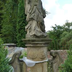
Statue of John of Nepomuk in Fryštát
121 m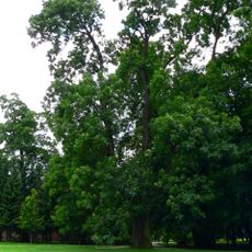
Jasan v parku Boženy Němcové
296 m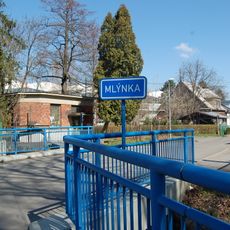
Bridge of Mlýnská street over the Mlýnka in Karviná
201 m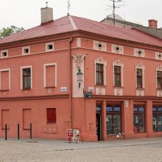
Fryštátská 22
171 m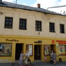
Měšťanský dům čp. 88
95 m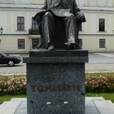
Statue of Tomáš Garrigue Masaryk in Karviná
43 mReviews
Visited this place? Tap the stars to rate it and share your experience / photos with the community! Try now! You can cancel it anytime.
Discover hidden gems everywhere you go!
From secret cafés to breathtaking viewpoints, skip the crowded tourist spots and find places that match your style. Our app makes it easy with voice search, smart filtering, route optimization, and insider tips from travelers worldwide. Download now for the complete mobile experience.

A unique approach to discovering new places❞
— Le Figaro
All the places worth exploring❞
— France Info
A tailor-made excursion in just a few clicks❞
— 20 Minutes