Chest opened
+${chestReward.xp} XP
Explorer
NOUVEAU ×${chestReward.collectible.quantity}
tapez pour fermer
Chest locked

Open chests in the app

Around Us is built for your phone — chests unlock when you walk, explore and capture nearby places.

Enable Location

We need your location to show you interesting places around you

Discover nearby places

Find interesting locations and hidden gems around you

Precise directions

Get accurate directions and distances to places

Your location is never shared with other users. It's only used when you tap the location button.

Log in to your account

Start exploring — it's free

Trusted by 73,088 travelers worldwide

Continue with Google
Continue with Apple
or

We will send you a code to connect

By continuing, you accept our Terms and Conditions and our Privacy Policy

Check your inbox

We've sent a pincode in your inbox. Please enter the code below.

Verwaltungsgemeinschaft Rund um den Auersberg
Discussion Reviews Photo
1.2k Popularity

Verwaltungsgemeinschaft Rund um den Auersberg, Administrative community in Zwickau district, Germany.

The Verwaltungsgemeinschaft Rund um den Auersberg is an administrative union of Bernsdorf, Lichtenstein, and St. Egidien in Saxony. The area spans roughly 50 square kilometers and is positioned between the larger cities of Chemnitz and Zwickau.

This administrative structure was created during territorial reforms in Saxony to make local management more efficient across multiple communities. The framework has shaped regional development over recent decades through coordinated governance.

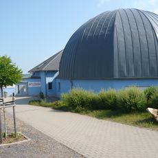
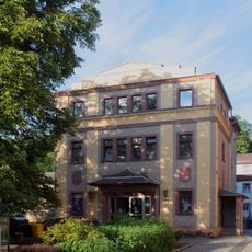
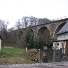
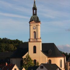
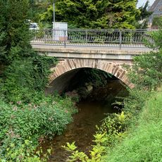
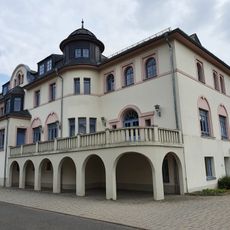
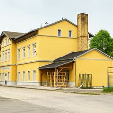
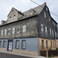
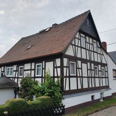
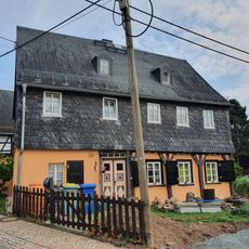
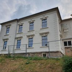
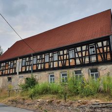
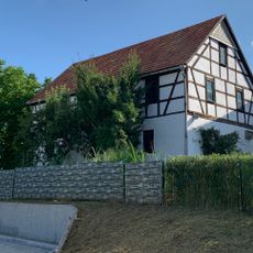
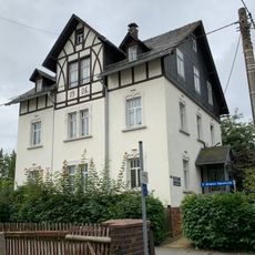
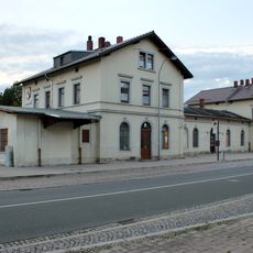
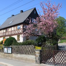
The administrative community brings together three separate municipalities, each with its own local customs and community events. Visitors will notice different architectural styles and town centers in each area, reflecting their individual identities.

The area is accessible via Federal Highway 173 and the Zwickau-Chemnitz railway line. Visitors planning to explore should be prepared for its scattered nature and travel between the individual communities.

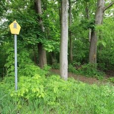
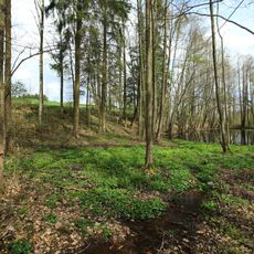
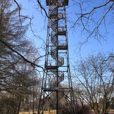
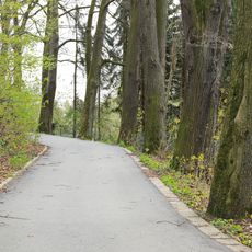
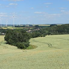
The administrative community takes its name from the Auersberg, a modest mountain in the region standing about 340 meters (1,115 feet) high. This peak serves as a hiking destination and gives the administrative area its distinctive identity.

The community of curious travelers

AroundUs brings together thousands of curated places, local tips, and hidden gems, enriched daily by 60,000 contributors worldwide.

Start exploring
Location
GPS coordinates
50.75000,12.61670
Latest update
December 14, 2025 18:45
Around this place
Show the full map
Reviews
Share your experience

No review yet

Discussions
Start a discussion...

No discussion yet

« Verwaltungsgemeinschaft Rund um den Auersberg - Administrative community in Zwickau district, Germany » is provided by Around Us (aroundus.com). Images and texts are derived from Wikimedia project under a Creative Commons license. You are allowed to copy, distribute, and modify copies of this page, under the conditions set by the license, as long as this note is clearly visible.

Discover hidden gems everywhere you go!

From secret cafés to breathtaking viewpoints, skip the crowded tourist spots and find places that match your style. Our app makes it easy with voice search, smart filtering, route optimization, and insider tips from travelers worldwide. Download now for the complete mobile experience.

Around Us App Screenshot

A unique approach to discovering new places

Le Figaro

All the places worth exploring

France Info

A tailor-made excursion in just a few clicks

20 Minutes

Around Us
Travel Guide & Maps
Download

Send to your phone

QR Code
1

Open the camera app on your mobile.

2

Point at the QR code with your camera. A notification will appear.

3

Tap the notification to open the link.