
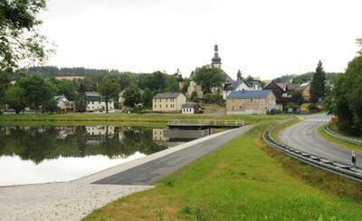
Bösenbrunn, municipality of Germany
Location: Vogtlandkreis
Elevation above the sea: 465 m
Website: https://boesenbrunn.de
GPS coordinates: 50.39722,12.10000
Latest update: June 13, 2025 03:24
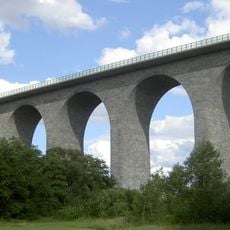
Elster Viaduct
4 km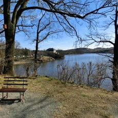
Talsperre Pirk
3.2 km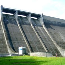
Talsperre Dröda
3.9 km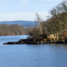
Ruine Stein (Sachsen)
3.4 km
Wiedersberg Castle
8 km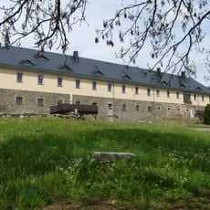
Rittergut Planschwitz
2.6 km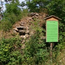
Burg Türbel
3.5 km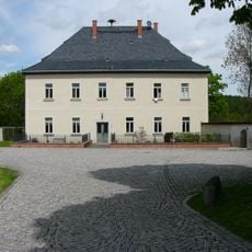
Rittergut Magwitz
3.2 km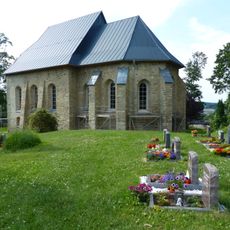
Wehrkirche Triebel
3.5 km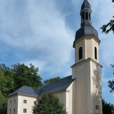
St. Michaelis (Wiedersberg)
8.1 km
Turmhügel Nentschau
8.5 km
Feilebach
8.6 km
Kirche Dröda
2.7 km
Hasenreuth
8.6 km
Dreiseithof
8.7 km
St. Ägidius
7.7 km
Kirche Am Dorfplatz
7.3 km
Grünes Band
6.8 km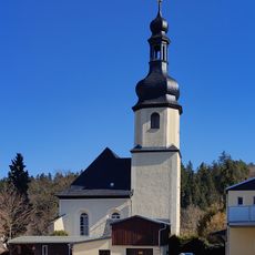
St.-Margareten-Kirche
3.5 km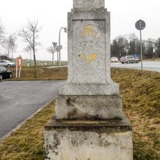
Polish-Saxon Post Milestone Weischlitz
4.7 km
Kirche Geilsdorf
5.7 km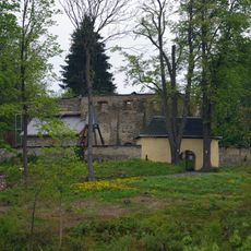
Kirchruine Obertriebeler Straße
3.5 km
Waldbad Triebel
3.5 km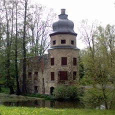
Schloss Geilsdorf
5.8 km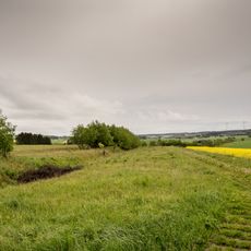
Grünes Band Sachsen / Bayern
5.1 km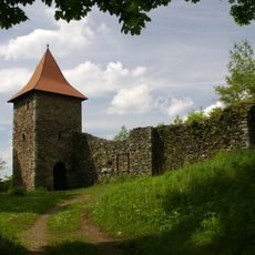
Einzeldenkmale Burg Wiedersberg Am Feilebach
8.1 km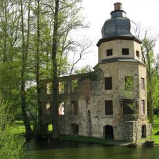
Schlossruine Schloßstraße 4
5.8 km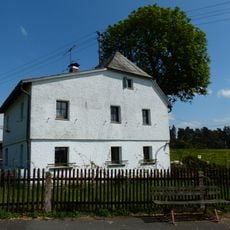
Cultural heritage D-4-75-161-27 in Regnitzlosau
8.3 kmVisited this place? Tap the stars to rate it and share your experience / photos with the community! Try now! You can cancel it anytime.
Discover hidden gems everywhere you go!
From secret cafés to breathtaking viewpoints, skip the crowded tourist spots and find places that match your style. Our app makes it easy with voice search, smart filtering, route optimization, and insider tips from travelers worldwide. Download now for the complete mobile experience.

A unique approach to discovering new places❞
— Le Figaro
All the places worth exploring❞
— France Info
A tailor-made excursion in just a few clicks❞
— 20 Minutes