Königshainer Berge, Protected landscape in Görlitz district, Germany
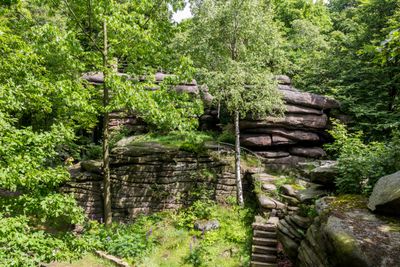
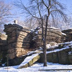
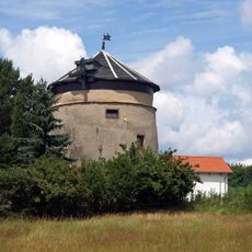
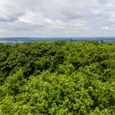
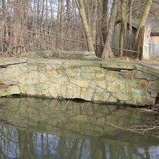
Königshainer Berge is a protected landscape area featuring granite rock formations that rise across multiple towns west of Görlitz. The terrain combines forested slopes, towering rock faces, and a rugged landscape shaped by natural granite outcrops.
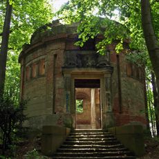
Granite extracted from these mountains was used for major construction projects, including important buildings in distant cities. This quarrying activity shaped the region's economy and left its mark on the landscape over many centuries.
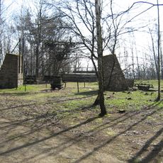
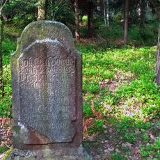
The Totenstein rock formation shows marks from people who lived in the Bronze Age, revealing its role as a gathering place long ago. Walking among these ancient stones gives visitors a sense of how this landscape was used throughout the ages.
The area is popular for hiking and climbing, with routes suitable for different skill levels and interests. Visitors should wear sturdy shoes and be prepared for uneven terrain, as trails wind through forests and around rock faces.
The Kuckuckstein rock formation features an artificial viewing hole aligned with the winter sun at midday. This curious detail draws visitors who want to experience this rare astronomical occurrence.
The community of curious travelers
AroundUs brings together thousands of curated places, local tips, and hidden gems, enriched daily by 60,000 contributors worldwide.