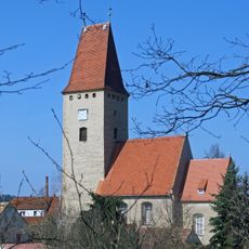
Hochstein, Cultural heritage hill in Görlitz, Germany
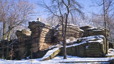
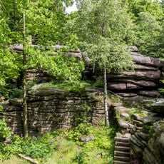
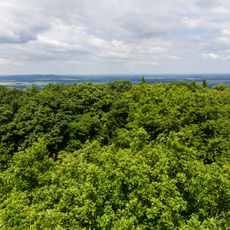
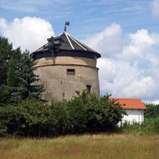
Hochstein is a natural hill located in Görlitz that rises to an elevation of about 406 meters above the surrounding area. From its summit, visitors can take in views of the city and the landscape beyond.
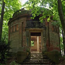
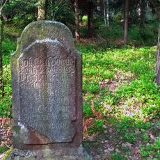
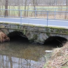
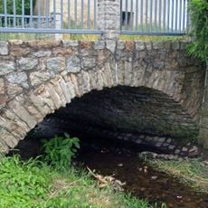
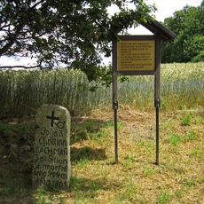
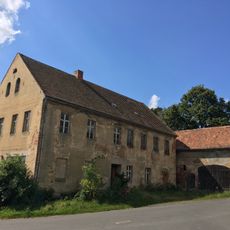
Hochstein shows traces of medieval activity in the surrounding area, documented in historical records from the early twentieth century. These records demonstrate that the hill has long been a recognized part of the region's past.
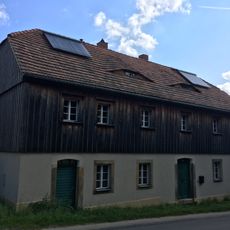
The hill holds special meaning for Görlitz residents and serves as a place where locals come to connect with their surroundings. Its name and elevated position make it a landmark that reflects the area's long-standing relationship with the landscape.
The hill has several walking routes to the summit, each offering different path options depending on preference. These trails are passable year-round, allowing visitors to explore the surroundings in any season.
The hill's position near the Polish border creates a location where German and Polish cultural influences naturally converge. This border proximity makes it a vantage point from which visitors can sense both cultural spaces in their vicinity.
Location: Görlitz
Inception: 1900
Elevation above the sea: 406 m
Address: Dorfstraße 146
GPS coordinates: 51.19459,14.83555
Latest update: December 9, 2025 20:23
Königshainer Berge
234 m
Königshainer Schlösser Dorfstraße 27; 28; 28a; 29; 30; 30b; 31; 31a; 32
3.7 km
Neues Schloss Oberrengersdorf
4.6 km
Kirche Nieder Seifersdorf
4.8 km
Königshainer Schlösser
3.5 km
Rittergut Arnsdorf
4.1 km
Kirche Arnsdorf
3.3 km
Königshain church
3.9 km
Zigeunerhöhle
3.9 km
Holländermühle Königshain
3.9 km
Granitabbaumuseum Königshainer Berge
942 m
Einzeldenkmale der Sachgesamtheit Rittergut Oberrengersdorf: Neues Schloss, Eiskeller, Mausoleum, Torpfeiler, Brücke und gemauerter Teichzulauf im Park Bergstraße 19
4.6 km
Laubwälder der Königshainer Berge
1.2 km
Einzeldenkmale der Sachgesamtheit Königshainer Steinbrüche: Hamannbruch, Bruch 1 und 2, Thadenbruch, Firstensteinbruch und Müllerbruch, dazu die in das Granitmuseum integrierte ehemalige Schlosserei und die Schmiede, weiterhin Aufenthaltsraum und
834 m
Häusleranwesen Am Poetenteich 1
5.4 km
Windmühle Arnsdorf
3 km
Grabmal (Weg nach Attendorf, 400 Meter vor Straße nach Wiesa; im Wald)
3 km
Bienenhaus Kodersdorf
5 km
Rittergut Oberrengersdorf
4.6 km
Bruchsteinbrücke An der Scheibe
5.4 km
Liebstein 34, Inspektorenhaus
4.9 km
Naturstein-Bogenbrücke Dorfstraße 27
3.5 km
Gedenkstein Postillon Lachmann
5 km
Liebstein 26, Gasthaus mit Scheune
4.8 km
Fragment einer Brücke der Autobahn
2.9 km
Wiesa, Gefallenendenkmal WK I
3.9 km
Wiesa, Sonnenweg 26
4.1 km
Bruchsteinbrücke Rosengasse
5.3 kmVisited this place? Tap the stars to rate it and share your experience / photos with the community! Try now! You can cancel it anytime.
Discover hidden gems everywhere you go!
From secret cafés to breathtaking viewpoints, skip the crowded tourist spots and find places that match your style. Our app makes it easy with voice search, smart filtering, route optimization, and insider tips from travelers worldwide. Download now for the complete mobile experience.
A unique approach to discovering new places❞
— Le Figaro
All the places worth exploring❞
— France Info
A tailor-made excursion in just a few clicks❞
— 20 Minutes