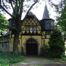
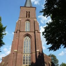
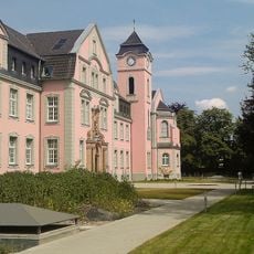
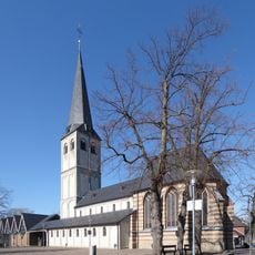
Kaarst, Medium-sized municipality in Rhein-Kreis Neuss, Germany
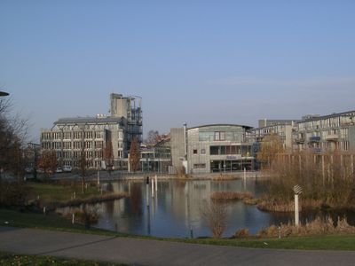
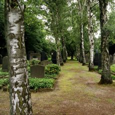
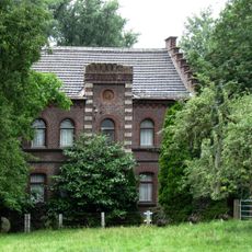
Kaarst is a municipality in Rhein-Kreis Neuss, North Rhine-Westphalia, featuring residential areas, parks, and commercial zones spread between Neuss and Mönchengladbach. The town has several districts with different characters, ranging from green spaces to more densely populated areas.
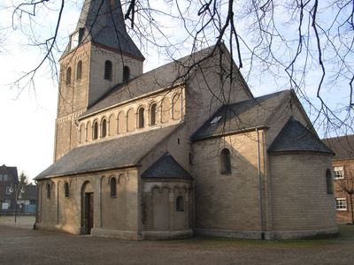
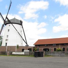
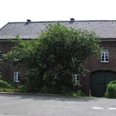
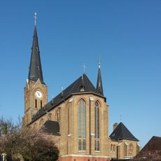
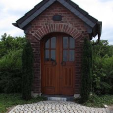
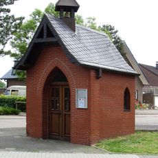
The settlement first appeared in written records in 1218 as Karlesforst, and French occupation from 1794 to 1814 later shaped its regional history. During this period, the town underwent economic and administrative changes that influenced its development.
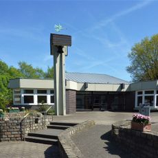
The town functions as a gathering space where regular markets and community events shape daily life and bring people together throughout the year. These occasions reflect how residents use their shared spaces for socializing and commerce.
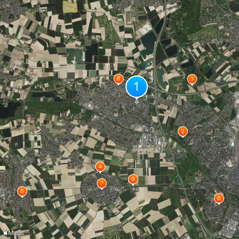
The town connects to larger cities like Düsseldorf and Mönchengladbach through the Rhine-Ruhr S-Bahn network with multiple stations. You can explore different districts on foot or by bike since the layout is relatively flat and easy to navigate.
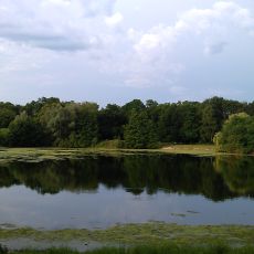
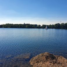
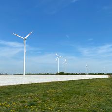
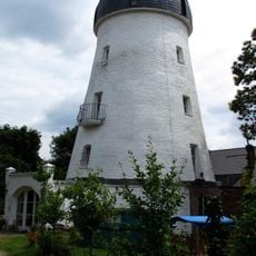
The area has access to leisure facilities like an indoor skiing center and a golf park that operate regardless of weather conditions. These amenities show how the location has grown beyond typical residential functions as a recreation destination.
The community of curious travelers
AroundUs brings together thousands of curated places, local tips, and hidden gems, enriched daily by 60,000 contributors worldwide.