Heubach, municipality in Germany
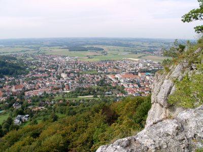
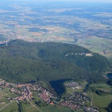
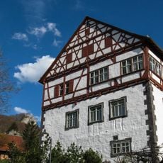
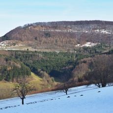
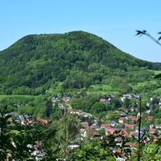
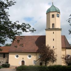
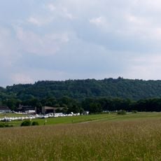
Heubach is an urban municipality in the Ostalbkreis district in Baden-Württemberg, located in an area characterized by meadows and gentle rolling hills. The town has a compact central area with residential neighborhoods and local facilities, along with green spaces that mark the transition to the surrounding countryside.
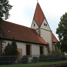
Heubach's roots go back to the medieval period, when the area was shaped by agriculture and local craft trades. Over the modern era, the settlement developed into an independent municipality, becoming influential for the region's economy due to its favorable location.
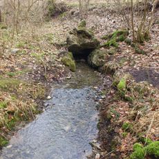
The name Heubach comes from the hay that was dried in the surrounding meadows, reflecting the area's agricultural past. Local traditions and craft shops still shape the character of the town center, where residents maintain these practical, land-based roots.
Visitors can reach Heubach most easily via regional road connections, as the municipality is well integrated into the local traffic network. The walkable town center offers shops, restaurants, and public facilities that are accessible throughout the day.
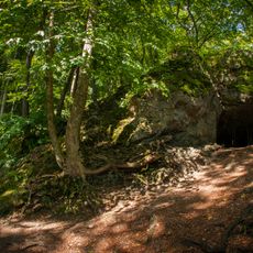
Despite its modest size, Heubach preserves a noteworthy local craft tradition that remains visible today in small workshops and traditional enterprises. This continuity makes the place interesting for visitors seeking to experience authentic artisanal culture in the Swabian region.
The community of curious travelers
AroundUs brings together thousands of curated places, local tips, and hidden gems, enriched daily by 60,000 contributors worldwide.