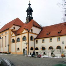
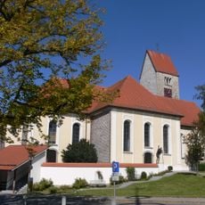
Altusried, municipality in the district of Oberallgäu, Bavaria, Germany
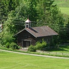
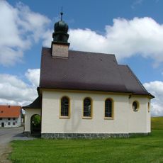
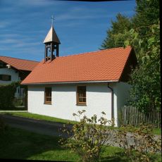
Altusried is a small municipality in the Oberallgäu region of Bavaria, situated in a hilly area of the Allgäu landscape. The settlement spreads across several villages and hamlets characterized by meadows, forests, and traditional farm buildings.
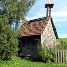
Altusried developed as a settlement in the Allgäu region and evolved over centuries into an agricultural community with numerous farms. Its history is closely tied to the rural traditions and farming practices of the area.
The municipality is best explored by following country roads that run through fields and forests, connecting the various districts. Starting from the village center provides a good base for walks through the surrounding countryside.
The community of curious travelers
AroundUs brings together thousands of curated places, local tips, and hidden gems, enriched daily by 60,000 contributors worldwide.