
Kirchenpingarten, municipality in Landkreis Bayreuth in Germany
Location: Bayreuth
Elevation above the sea: 525 m
Part of: Verwaltungsgemeinschaft Weidenberg
Website: http://kirchenpingarten.de
GPS coordinates: 49.92167,11.78667
Latest update: March 3, 2025 08:52
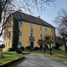
Schloss Göppmannsbühl
4.4 kmWildpark Waldhaus Mehlmeisel
6.1 km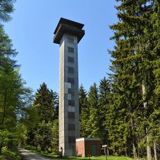
Klausenturm
6.2 km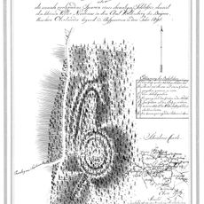
Burgstall Schlosshügel
3.7 km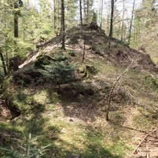
Burgruine Wurzstein
5.9 km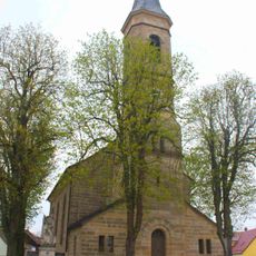
Kirche
5.3 km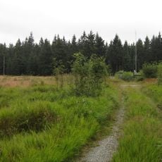
Kreuzstein
6.3 km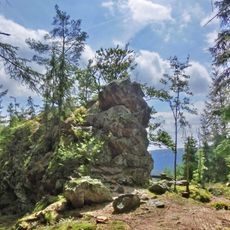
Rotenfels
4.2 km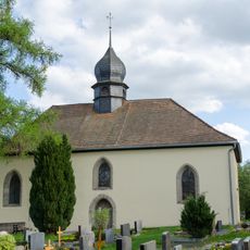
St. Stephen (Weidenberg)
5.4 km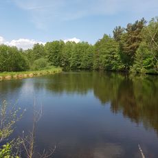
Hirschberg- und Heidweiher in der Gabellohe
6.3 km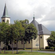
Saalkirche
4.1 km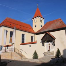
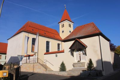
Pfarrkirche
62 m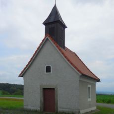
Ortskapelle
5 km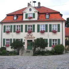
Rathaus
5 km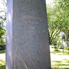
Gedenkstein
6.7 km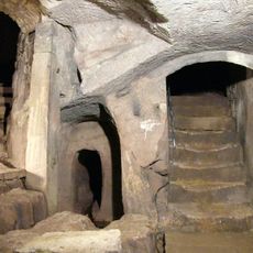
Felsenkeller
7.3 km
Station building at Warmensteinach station
8.1 km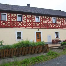
Bauernhaus
4.9 km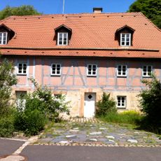
Doppelhaus
4.4 km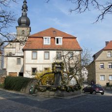
Cultural heritage D-4-72-199-19 in Weidenberg
4.9 km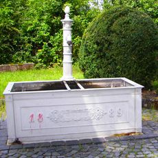
Brunnen
4.9 km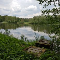
Haidenaabtal und Gabellohe
5.4 km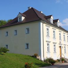
Adelssitz
6.3 km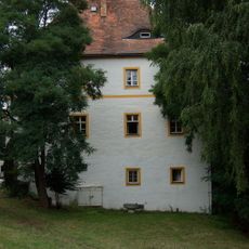
Schloss
4.9 km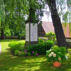
Kriegerdenkmal
4.9 km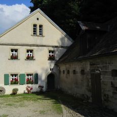
Mahlmühle
4.7 km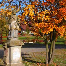
Heiligenfigur
78 m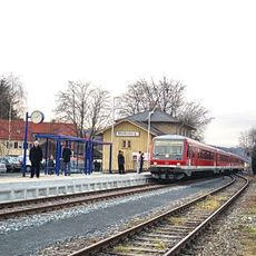
Station building at Weidenberg station
5.2 kmVisited this place? Tap the stars to rate it and share your experience / photos with the community! Try now! You can cancel it anytime.
Discover hidden gems everywhere you go!
From secret cafés to breathtaking viewpoints, skip the crowded tourist spots and find places that match your style. Our app makes it easy with voice search, smart filtering, route optimization, and insider tips from travelers worldwide. Download now for the complete mobile experience.

A unique approach to discovering new places❞
— Le Figaro
All the places worth exploring❞
— France Info
A tailor-made excursion in just a few clicks❞
— 20 Minutes