Enable Location

We need your location to show you interesting places around you

Discover nearby places

Find interesting locations and hidden gems around you

Precise directions

Get accurate directions and distances to places

Your location is never shared with other users. It's only used when you tap the location button.

Log in to your account

Start exploring — it's free

Trusted by 62,125 travelers worldwide

Continue with Google
Continue with Apple
or

We will send you a code to connect

By continuing, you accept our Terms and Conditions and our Privacy Policy

Check your inbox

We've sent a pincode in your inbox. Please enter the code below.

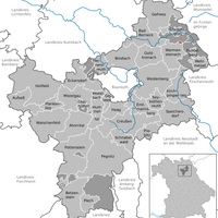
Bayreuth, Administrative district in Upper Franconia, Germany

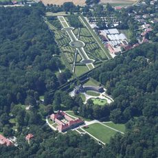
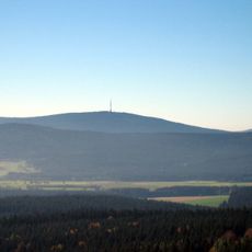
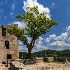
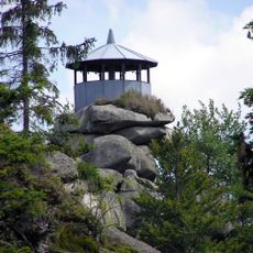
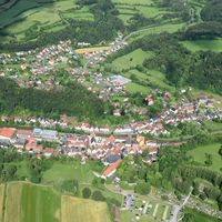
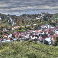
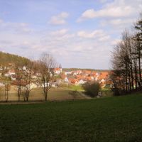
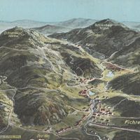
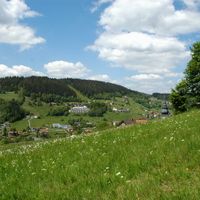
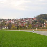
The district of Bayreuth is located in Upper Franconia and encompasses varied landscapes with hills, mountains, and forests at different elevations. The region spreads across several valleys and plateaus between different mountain ranges.

The area took its present form in 1972 through the merger of several former administrative districts into one larger region. This consolidation reshaped the administrative structure and created a new geographic entity.

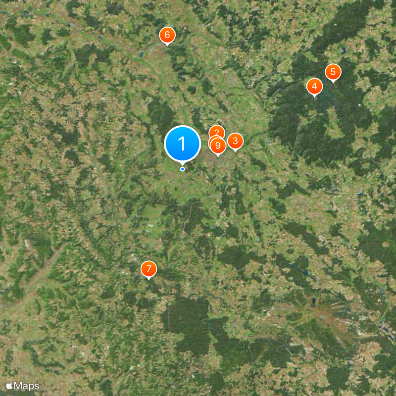
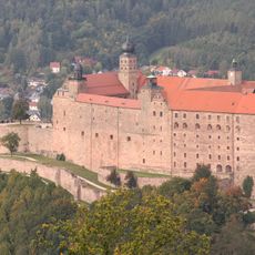
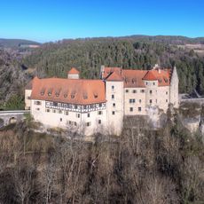
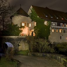
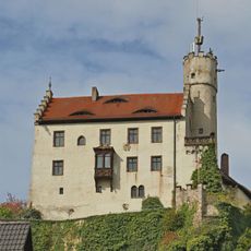
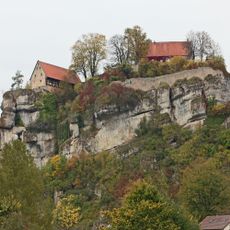
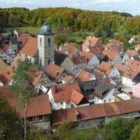
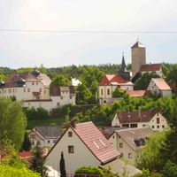
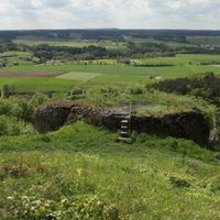
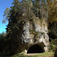
The area is known for its scattered medieval castles that show how this region was once defended and organized. Visiting these structures today reveals how people lived and protected their settlements in earlier times.

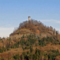
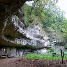
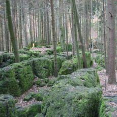
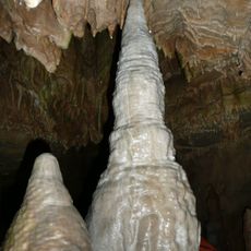
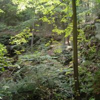
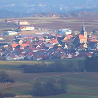
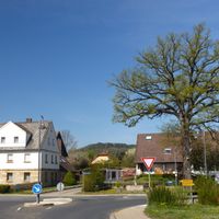
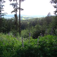
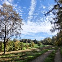
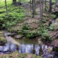
This area has dense forests and nature reserves that invite walking and exploring, especially in summer and spring. The small villages and towns are easily accessible by car and provide good starting points for trips into nature.

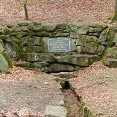
Two rivers, the White Main and the Red Main, both originate in this area and flow away in different directions. These two water sources shape the landscape and play an important role for the entire region.

The community of curious travelers

AroundUs brings together thousands of curated places, local tips, and hidden gems, enriched daily by 60,000 contributors worldwide.

Start exploring
Location
Inception
July 1, 1862
Capital city
Bayreuth
Elevation above the sea
507 m
Shares border with
Forchheim District, Bayreuth, Lichtenfels, Bamberg, Kulmbach, Hof, Wunsiedel, Tirschenreuth, Neustadt an der Waldnaab, Amberg-Sulzbach, Nürnberger Land
GPS coordinates
49.92000,11.50000
Latest update
December 20, 2025 15:54
« Bayreuth - Administrative district in Upper Franconia, Germany » is provided by Around Us (aroundus.com). Images and texts are derived from Wikimedia project under a Creative Commons license. You are allowed to copy, distribute, and modify copies of this page, under the conditions set by the license, as long as this note is clearly visible.

Discover hidden gems everywhere you go!

From secret cafés to breathtaking viewpoints, skip the crowded tourist spots and find places that match your style. Our app makes it easy with voice search, smart filtering, route optimization, and insider tips from travelers worldwide. Download now for the complete mobile experience.

Around Us App Screenshot

A unique approach to discovering new places

Le Figaro

All the places worth exploring

France Info

A tailor-made excursion in just a few clicks

20 Minutes

Around Us
Travel Guide & Maps
Download

Send to your phone

QR Code
1

Open the camera app on your mobile.

2

Point at the QR code with your camera. A notification will appear.

3

Tap the notification to open the link.