
Hemslingen, municipality of Germany
Location: Bothel
Location: Rotenburg (Wümme) district
Elevation above the sea: 39 m
Website: https://bothel.de/mitgliedsgemeinden/hemslingen.html
GPS coordinates: 53.08729,9.59710
Latest update: March 7, 2025 06:05
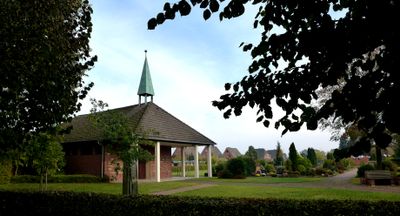
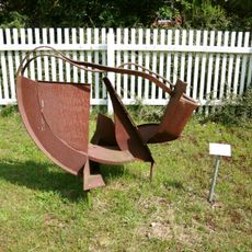
Kunst-Landschaft
6.5 km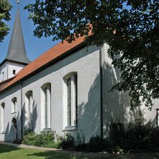
St.-Lucas-Kirche
11.9 km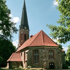
Peter-und-Paul-Kirche
13.2 km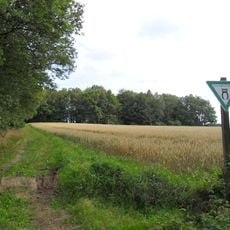
Höllen-Berg
10.4 km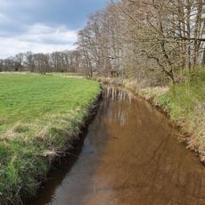
Vissel
8.2 km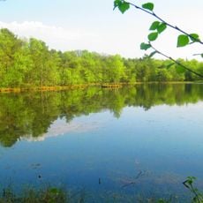
Birkensee
13.2 km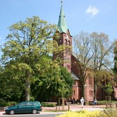
St. Bartholomäus
9.4 km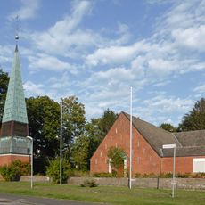
Herz-Jesu-Kirche
11.9 km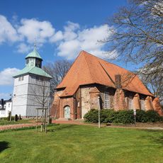
St.-Johannis-Kirche
11.4 km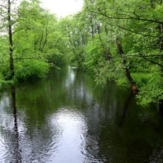
Wümmeniederung mit Rodau, Wiedau und Trochelbach
11.6 km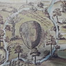
Radesbroke
5.2 km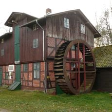
Lünzen Watermill
6.7 km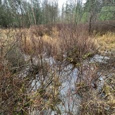
Rotes Moor
6.1 km
St. Antonius (Fintel)
10.4 km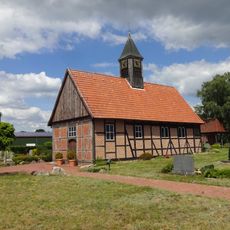
St.-Nikolaus-Kapelle
10.1 km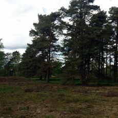
Hügelgräberheide bei Langeloh
13 km
Seemoor und Schwarzes Moor bei Zahrensen
10 km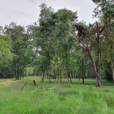
Moor bei Osterwede
11.5 km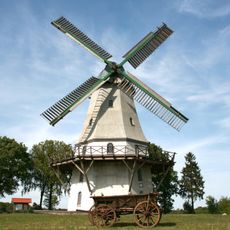
Sprengel windmill
9.8 km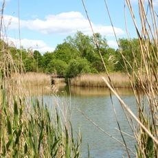
Walter-Peters-Park
12.9 km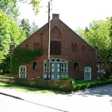
Pult & Federkiel-Museum Insel
12.8 km
Pfarrberg
9.2 km
Verdener Straße 4
13.2 km
Schwarzes Moor und Seemoor
10 km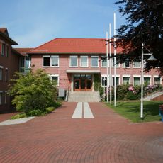
Schneverdingen town hall
13.2 km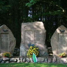
Kriegerdenkmal Gilmerdingen
11.2 km
Moor am Schweinekobenbach
6 km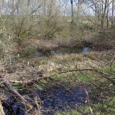
Lehmkuhle bei Lieste
8.5 kmVisited this place? Tap the stars to rate it and share your experience / photos with the community! Try now! You can cancel it anytime.
Discover hidden gems everywhere you go!
From secret cafés to breathtaking viewpoints, skip the crowded tourist spots and find places that match your style. Our app makes it easy with voice search, smart filtering, route optimization, and insider tips from travelers worldwide. Download now for the complete mobile experience.

A unique approach to discovering new places❞
— Le Figaro
All the places worth exploring❞
— France Info
A tailor-made excursion in just a few clicks❞
— 20 Minutes