Höllen-Berg, Hill summit in Lüneburg Heath, Germany
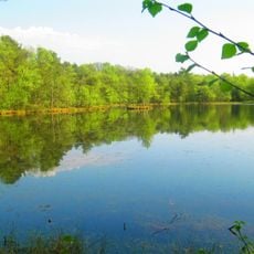
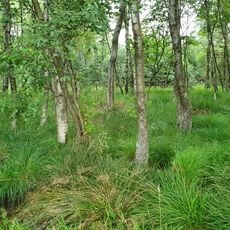
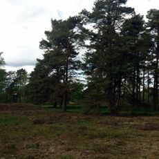
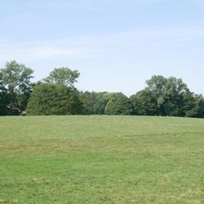
Höllen-Berg is a forested hilltop in the Lüneburg Heath that rises approximately 93 meters above the surrounding terrain. The slopes are gentle and covered with a mix of trees and low-growing vegetation.
The hill formed over millennia through natural geological processes and has long served as a landmark in the heath region. The surrounding landscape was shaped by agricultural use over centuries, resulting in the heathland pattern visible today.
The hill sits within a region where heathland stewardship has shaped the landscape for generations and remains visible in how the land is managed today. Its name reflects the way this elevation stands out distinctly from the otherwise flat surroundings.
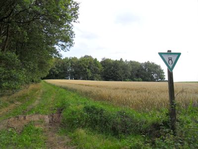
Marked hiking trails connect the parking area to the summit and are easy to follow for visitors with average fitness. Informational signs along the route explain the area's geology and plant life, so allowing extra time for the walk is worthwhile.
In late summer the heath surrounding the hill turns deep purple and red when the heather plants bloom in full. From this higher vantage point the color display spreads across the entire landscape in a way that ground-level views cannot capture.
The community of curious travelers
AroundUs brings together thousands of curated places, local tips, and hidden gems, enriched daily by 60,000 contributors worldwide.