
Sigmarszell, municipality in the district of Lindau, Bavaria, Germany
Location: Lindau
Capital city: Schlachters
Elevation above the sea: 482 m
Part of: Verwaltungsgemeinschaft Sigmarszell
Shares border with: Weißensberg, Scheidegg
Website: http://sigmarszell.de
GPS coordinates: 47.58944,9.76222
Latest update: March 4, 2025 03:12
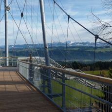
Skywalk Allgäu
5.7 km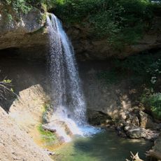
Scheidegger Wasserfälle
5.8 km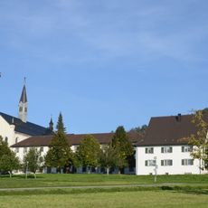
Mariastern Abbey, Hohenweiler
2.3 km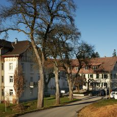
Gasthaus zum Bad Diezlings
2.3 km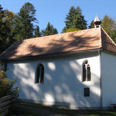
Ulrichskapelle
5.8 km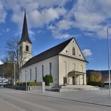
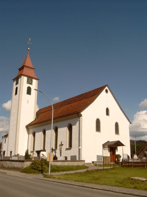
Pfarrkirche hl. Martin
3.8 km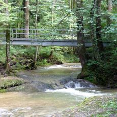
Rohrachschlucht
3.7 km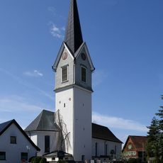
Pfarrkirche St. Georg
1.4 km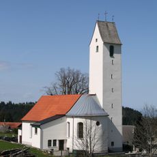
Pfarrkirche Hl. Ulrich
5.2 km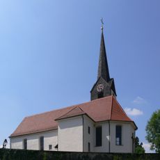
Pfarrkirche St. Ambrosius (Hergensweiler)
2.6 km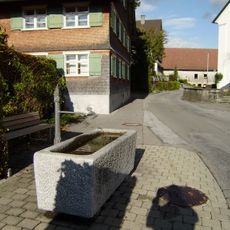
Brunnen
1.4 km
Katholische Pfarrkirche St. Ambrosius
2.6 km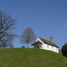
Kapelle Hl. Franz Xaver
1.9 km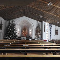
Katholische Pfarrkirche St. Markus
2.9 km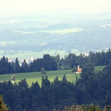
Katholische Kapelle St. Wendelin
5.1 km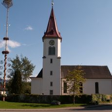
St. Nikolaus
3.4 km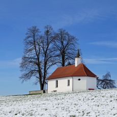
Katholische Antoniuskapelle auf der Käpellehalde
2.2 km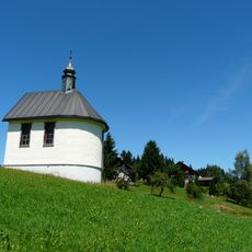
Sacred Heart chapel
6.4 km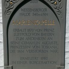
Gedenkkapelle
3 km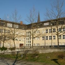
Volksschule Hörbranz
3.9 km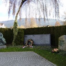
Kriegerdenkmal
3.9 km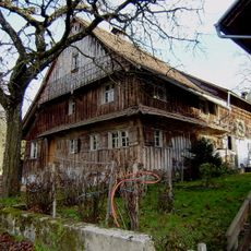
Bauernhaus Am Berg 6
3 km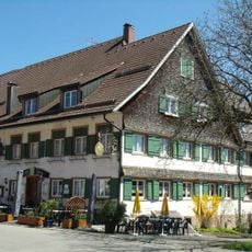
Gasthaus Sonne
2.5 km
Bruggmühle bei Opfenbach-Ruhlands
5.2 km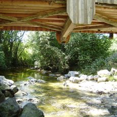
Brücke über die Leiblach bei Sigmarszell-Immen
3.4 km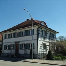
Ehemaliges Kaplanhaus
2.9 km
Zollwohnhaus und das Lager- bzw. Wirtschaftsgebäude
4 km
Prinzregent-Luitpold-Kinderheilstätte
6 kmVisited this place? Tap the stars to rate it and share your experience / photos with the community! Try now! You can cancel it anytime.
Discover hidden gems everywhere you go!
From secret cafés to breathtaking viewpoints, skip the crowded tourist spots and find places that match your style. Our app makes it easy with voice search, smart filtering, route optimization, and insider tips from travelers worldwide. Download now for the complete mobile experience.

A unique approach to discovering new places❞
— Le Figaro
All the places worth exploring❞
— France Info
A tailor-made excursion in just a few clicks❞
— 20 Minutes