Enable Location

We need your location to show you interesting places around you

Discover nearby places

Find interesting locations and hidden gems around you

Precise directions

Get accurate directions and distances to places

Your location is never shared with other users. It's only used when you tap the location button.

Höchstädt an der Donau

Log in to your account

Start exploring — it's free

Trusted by 64,651 travelers worldwide

Continue with Google
Continue with Apple
or

We will send you a code to connect

By continuing, you accept our Terms and Conditions and our Privacy Policy

Check your inbox

We've sent a pincode in your inbox. Please enter the code below.

Discussion Reviews 1 Photos
18.7k Popularity

Höchstädt an der Donau, municipality of Germany

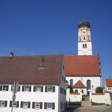
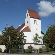
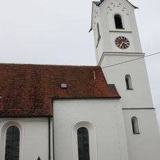
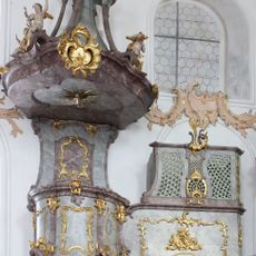
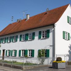
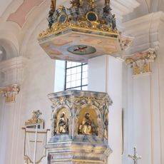
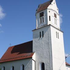
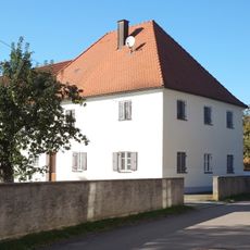
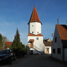
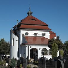
Höchstädt an der Donau is an urban municipality along a major river in southern Germany, shaped by its waterside location and surrounding flat terrain. The town blends medieval structures with modern additions and contains buildings such as a Renaissance-style castle on elevated ground and several churches that developed over generations.

The settlement has existed for about 1000 years and was first mentioned around 1081; in earlier periods the region was an important trading place under Roman rule with a temple dedicated to the god Apollo Grannus. The town experienced severe hardship from the 17th to 19th centuries through plague, wars, and invasions, before rebuilding quickly after World War Two due to minimal war damage.

The town's name reflects its elevated position along the Danube, a geography that remains central to its identity today. The old town square in front of the parish church Mariä Himmelfahrt serves as the heart where locals gather, showing how this place has functioned as a gathering point for residents and travelers for centuries.

The town is best explored on foot; a walk along the Danube and through the old town with its narrow streets offers the best overview. Extensive bike paths connect the town with surrounding villages and the quiet countryside, making short trips or day excursions straightforward.

A major battle took place here in 1704 that influenced European power dynamics and is now documented through monuments and museum exhibitions. The castle also houses a specialized museum dedicated to Fayence pottery, a local craft practiced over centuries.

The community of curious travelers

AroundUs brings together thousands of curated places, local tips, and hidden gems, enriched daily by 60,000 contributors worldwide.

Start exploring
Location
Elevation above the sea
416 m
Part of
Verwaltungsgemeinschaft Höchstädt an der Donau
GPS coordinates
48.61124,10.56816
Latest update
February 16, 2026 23:20
Reviews
Share your experience

No review yet

Discussions
Start a discussion...

No discussion yet

« Höchstädt an der Donau - municipality of Germany » is provided by Around Us (aroundus.com). Images and texts are derived from Wikimedia project under a Creative Commons license. You are allowed to copy, distribute, and modify copies of this page, under the conditions set by the license, as long as this note is clearly visible.

Discover hidden gems everywhere you go!

From secret cafés to breathtaking viewpoints, skip the crowded tourist spots and find places that match your style. Our app makes it easy with voice search, smart filtering, route optimization, and insider tips from travelers worldwide. Download now for the complete mobile experience.

Around Us App Screenshot

A unique approach to discovering new places

Le Figaro

All the places worth exploring

France Info

A tailor-made excursion in just a few clicks

20 Minutes

Around Us
Travel Guide & Maps
Download

Send to your phone

QR Code
1

Open the camera app on your mobile.

2

Point at the QR code with your camera. A notification will appear.

3

Tap the notification to open the link.