Eresing, municipality in Bavaria, in Germany
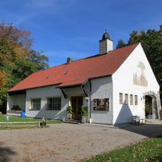
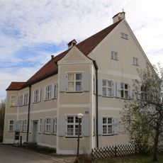
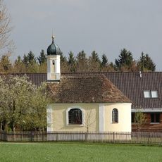
Eresing is a small municipality in Bavaria, Germany, located in the Oberbayern region and made up of four smaller neighborhoods. The houses are spread through quiet countryside with working farms and open land, connected by peaceful roads and paths.
The place has remained small over many years, preserving a traditional way of life passed down through generations. Its slow growth and stability are visible today in the structure of four distinct neighborhoods.
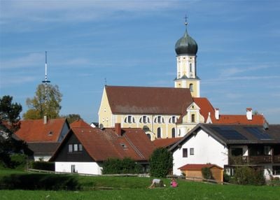
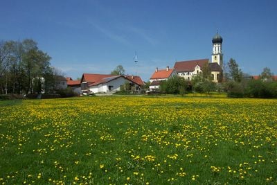
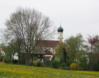
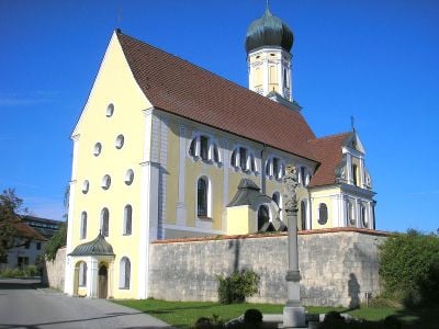
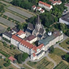
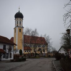
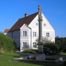
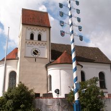
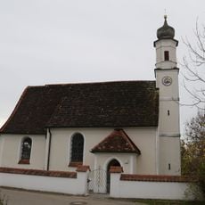
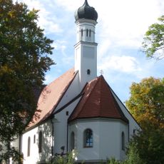
The village takes its name from Saint Ulrich, the local church that serves as the center for community gatherings and religious events. This building remains a focal point where residents and visitors can observe daily village life.
A small railway station called St. Ottilien connects the place to Mering and Weilheim, making travel to nearby towns easier for visitors. Walking is the best way to explore the quiet surroundings, as the open landscape and paths between neighborhoods invite a leisurely pace.
The place has its own coat of arms representing its history and identity, visible on official documents and village signs when you arrive. This symbol shows the connection residents have with their home and local heritage.
The community of curious travelers
AroundUs brings together thousands of curated places, local tips, and hidden gems, enriched daily by 60,000 contributors worldwide.