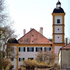
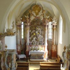
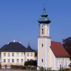
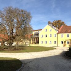
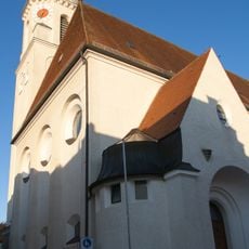
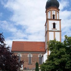
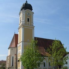
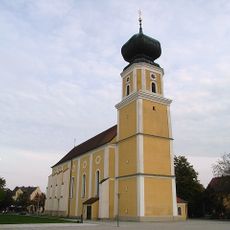
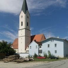
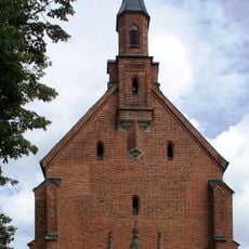
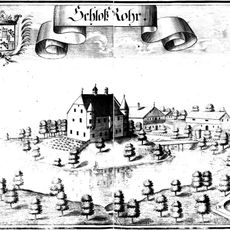
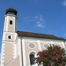
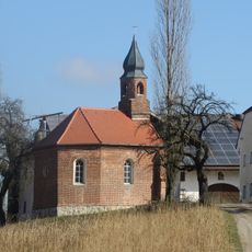
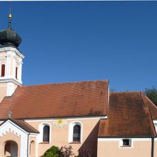
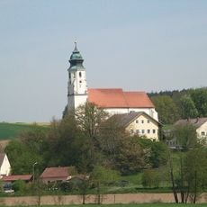
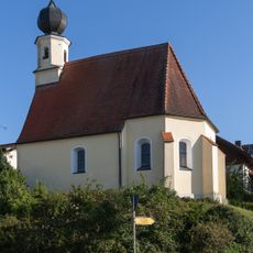
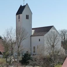
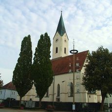
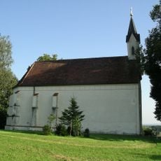
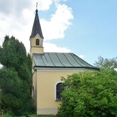
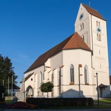
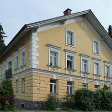
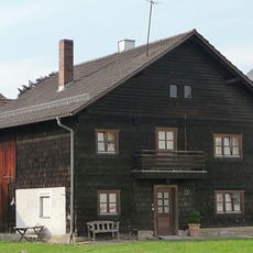
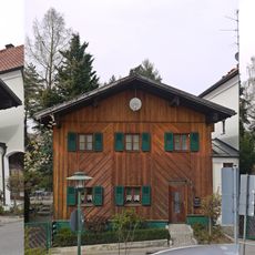
Tettenweis, municipality of Germany
Location: Passau
Elevation above the sea: 335 m
Shares border with: Rotthalmünster, Bad Griesbach im Rottal, Ruhstorf an der Rott, Pocking
Website: http://tettenweis.de
GPS coordinates: 48.43333,13.26667
Latest update: March 6, 2025 18:56
Schloss Kleeberg
3.4 km
Siebenschläferkirche (Rotthof)
3.9 km
Schloss Schönburg
5.5 km
Schloss Pillham
4.5 km
Stadtpfarrkirche Heilige Familie in Bad Griesbach (Rottal)
5.8 km
St. Michael (Bad Griesbach im Rottal)
5.9 km
St. Martin
1.2 km
St. Ulrich
4.8 km
Mariae Himmelfahrt
4.2 km
Wallfahrtskirche Maria Schutz Kronberg
5.8 km
Burg Rohr
5.7 km
St. Valentin (Reutern, Bad Griesbach im Rottal)
4.6 km
Marienkirche Ruhstorf an der Rott
5.3 km
Hofkapelle
3.6 km
St. Martin
3.8 km
Mariä Himmelfahrt
5 km
Kirche Ottenberg
2 km
Pfarrkirche Hader (Ruhstorf an der Rott)
3 km
Seelenkapelle zu den 14 Nothelfern
4.2 km
Pfarrkirche St. Martin
1.2 km
St. Nikolaus
6.3 km
Wegkapelle
6 km
Katholische Pfarrkirche St. Valentin
4.6 km
Ehem. Verwalterhaus
4.5 km
Wohnhaus der späten Gründerzeit
5.2 km
Wohnhaus
5 km
Ehemaliges Rathaus, jetzt Städtische Galerie und Volkshochschule
5.8 km
Wohnhaus
5.9 kmReviews
Visited this place? Tap the stars to rate it and share your experience / photos with the community! Try now! You can cancel it anytime.
Discover hidden gems everywhere you go!
From secret cafés to breathtaking viewpoints, skip the crowded tourist spots and find places that match your style. Our app makes it easy with voice search, smart filtering, route optimization, and insider tips from travelers worldwide. Download now for the complete mobile experience.
A unique approach to discovering new places❞
— Le Figaro
All the places worth exploring❞
— France Info
A tailor-made excursion in just a few clicks❞
— 20 Minutes