Enable Location

We need your location to show you interesting places around you

Discover nearby places

Find interesting locations and hidden gems around you

Precise directions

Get accurate directions and distances to places

Your location is never shared with other users. It's only used when you tap the location button.

Log in to your account

Start exploring — it's free

Trusted by 61,661 travelers worldwide

Continue with Google
Continue with Apple
or

We will send you a code to connect

By continuing, you accept our Terms and Conditions and our Privacy Policy

Check your inbox

We've sent a pincode in your inbox. Please enter the code below.

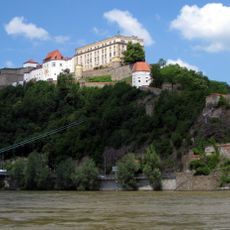
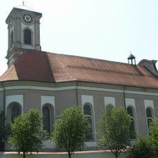
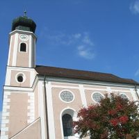
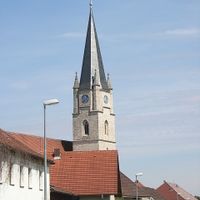
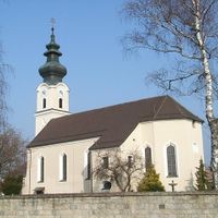
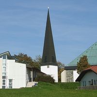
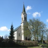
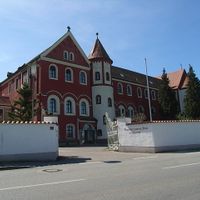
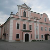
Passau, Administrative district in Lower Bavaria, Germany.

Description

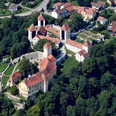
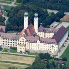
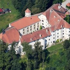
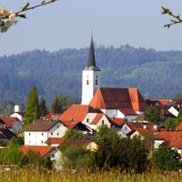
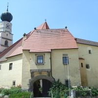
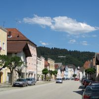
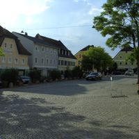
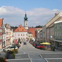
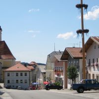
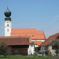
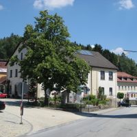
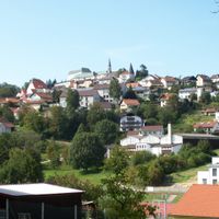
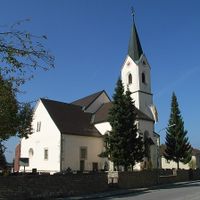
Passau is an administrative district in Lower Bavaria that covers approximately 1,530 square kilometers and encompasses 38 municipalities. The region stretches between the Danube River and the Bavarian Forest, displaying varied terrain of forested hills, farmland, and river valleys.

History

The district was established in 1862 during a reorganization of Bavarian administrative structures in the Kingdom of Bavaria. Its boundaries and organization have shifted several times since then, particularly following major political changes in the 20th century.

Culture

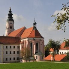
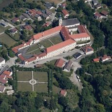
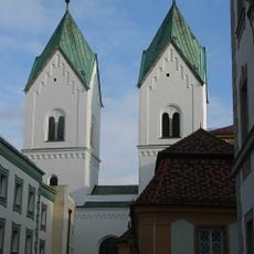
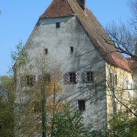
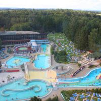
The district is shaped by its thermal spa towns such as Bad Griesbach and Bad Füssing, which offer traditional Bavarian wellness treatments using natural springs. Visitors can observe how locals value these healing waters as part of their regional heritage and daily life.

Practical

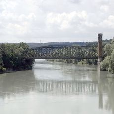
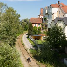
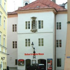
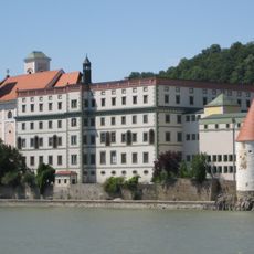
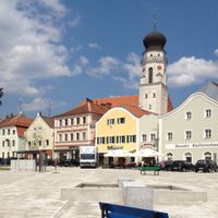
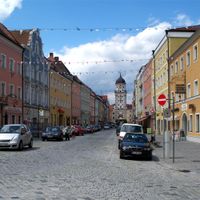
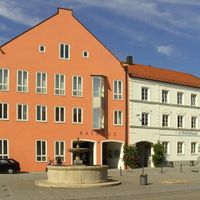
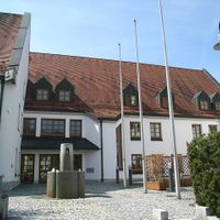
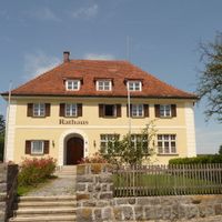
The administrative center is located in the city of Passau, where most services for visitors are accessible. The region is connected by the Danube and several federal highways that cross through it, enabling access to different municipalities.

Did you know?

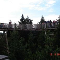
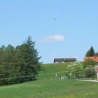
The northern area reaches elevations around 1,000 meters (3,300 feet) and forms the edge of the Bavarian Forest. In contrast, southern lowlands with river floodplains and farmland create a completely different landscape character.

Location
Inception
July 1, 1862
Capital city
Passau
Elevation above the sea
364 m
Shares border with
Freyung-Grafenau, Deggendorf, Rottal-Inn, Rohrbach District, Schärding District, Passau
GPS coordinates
48.50000,13.33000
Latest update
December 19, 2025 23:23

AroundUs brings together thousands of curated places, local tips, and hidden gems, enriched daily by 60,000 contributors worldwide. Discover all places nearby (Lower Bavaria).

« Passau - Administrative district in Lower Bavaria, Germany » is provided by Around Us (aroundus.com). Images and texts are derived from Wikimedia project under a Creative Commons license. You are allowed to copy, distribute, and modify copies of this page, under the conditions set by the license, as long as this note is clearly visible.

Discover hidden gems everywhere you go!

From secret cafés to breathtaking viewpoints, skip the crowded tourist spots and find places that match your style. Our app makes it easy with voice search, smart filtering, route optimization, and insider tips from travelers worldwide. Download now for the complete mobile experience.

Around Us App Screenshot

A unique approach to discovering new places

Le Figaro

All the places worth exploring

France Info

A tailor-made excursion in just a few clicks

20 Minutes

Around Us
Travel Guide & Maps
Download

Send to your phone

QR Code
1

Open the camera app on your mobile.

2

Point at the QR code with your camera. A notification will appear.

3

Tap the notification to open the link.