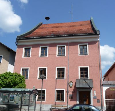
Wegscheid, municipality of Germany
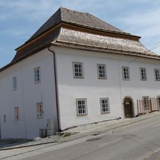
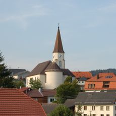
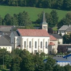
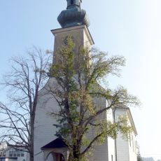
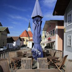
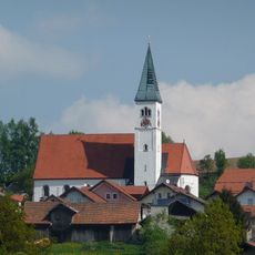
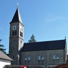
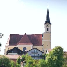
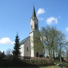
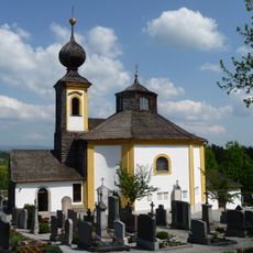
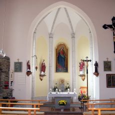
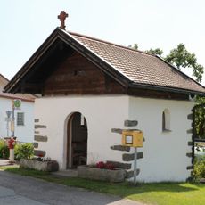
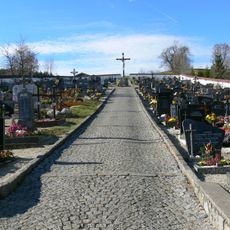
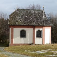
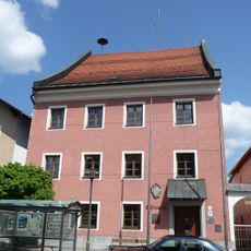
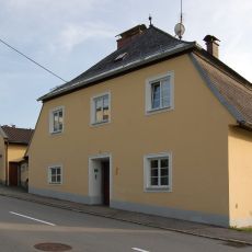
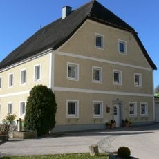
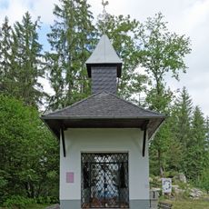
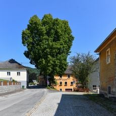
Wegscheid is a small town in Bavaria near the Austrian border, situated on a high plateau in the Bavarian Forest surrounded by green hills and forests. Quiet streets and historic buildings reveal the town's long past, while churches such as St. John the Baptist and the early 18th-century St. Anna Chapel testify to centuries of religious and cultural importance.
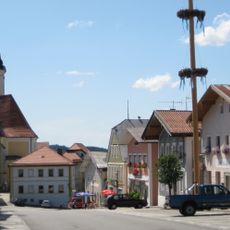
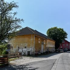
Wegscheid was granted market rights in 1360 by a bishop, allowing it to hold markets and attract people from surrounding villages. Over centuries the town grew through timber and textile industries, with many families weaving linen and the town becoming a trading center.
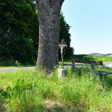
The name Wegscheid likely comes from an old path near a gully that once connected the region with neighboring areas. This heritage remains visible today in local customs, especially during Rauhnudelbetteln, a tradition before Epiphany when people walk from house to house collecting small gifts and foods.
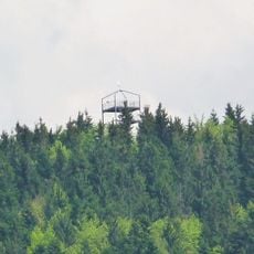
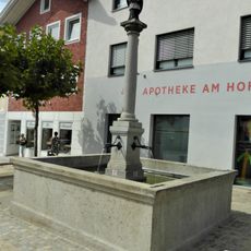
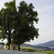
The town is well connected by roads for daily travel and visiting the surrounding area, with many hiking trails and signs explaining old mills and historic waterworks. Visitors find a pharmacy, shops, schools, a hospital, and public facilities including a library and indoor swimming pool.
The town's coat of arms displays a path and a tree, reflecting its historical connection to old trade routes and the area's bond with nature. Nearby lakes like the Rannasee offer swimming and boating, while specialized walks along historic water mills show visitors how water shaped the region's economic history.
The community of curious travelers
AroundUs brings together thousands of curated places, local tips, and hidden gems, enriched daily by 60,000 contributors worldwide.