Fürstenzell, market municipality of Germany
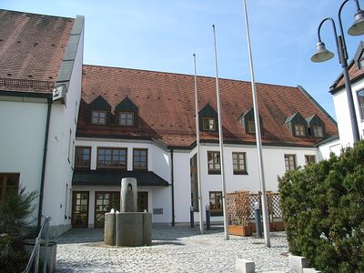
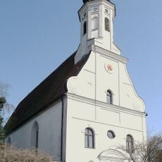
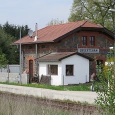
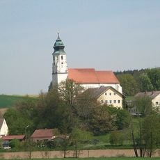
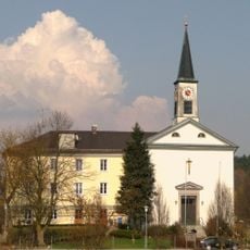
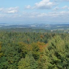
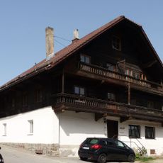
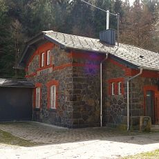
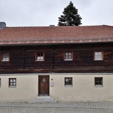
Fürstenzell is a small market municipality in Passau district, Bavaria, with traditional houses and broad green spaces. The village features narrow streets, old churches, and scattered farms that characterize the rural nature of the region.
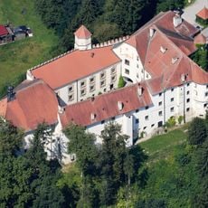
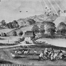
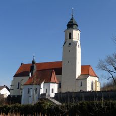
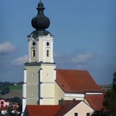
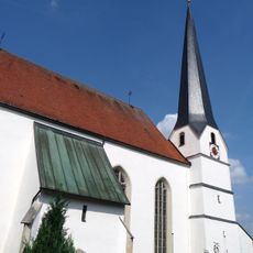
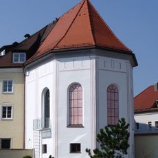
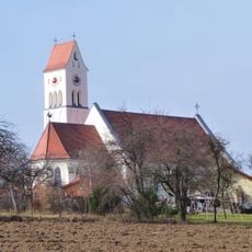
Fürstenzell was established as a small settlement and grew slowly over centuries, shaped by farming and local history. The village retained its rural character, with old buildings and the Portenkirche church serving as witnesses to this long development.
Fürstenzell is a place where local traditions and community gatherings shape daily life. The people here celebrate seasonal festivals with music and food, keeping old customs alive and bringing residents together.
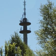
The village is well connected to larger cities like Passau by local roads and is easily accessible. Visitors can explore the quiet paths on foot or by bicycle, which is particularly pleasant.
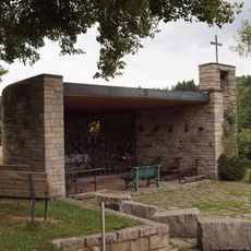
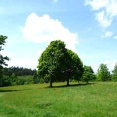
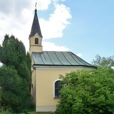
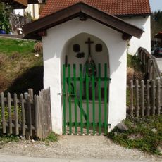
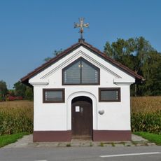
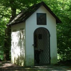
The village is known for the Marterlweg and Fürstenzeller Kreuzweg, quiet walking trails with old crosses and shrines used by visitors for centuries. These historical paths offer space for reflection and reveal the religious tradition of the area.
The community of curious travelers
AroundUs brings together thousands of curated places, local tips, and hidden gems, enriched daily by 60,000 contributors worldwide.