Untergriesbach, market municipality of Germany
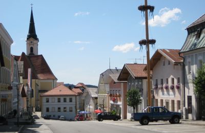
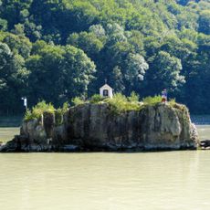
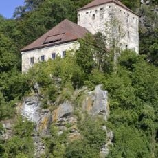
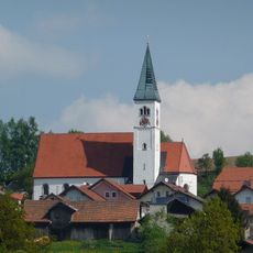
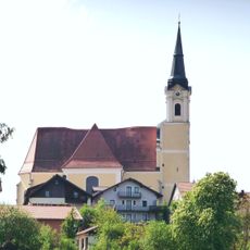
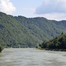
Untergriesbach is a market municipality in the Passau district of Bavaria, set among wooded hills and open farmland in the Griesbach valley. It belongs to the Lower Bavaria administrative region and functions as the main settlement of its local municipal area.
The settlement in the Griesbach valley grew over centuries as a farming community in southeastern Bavaria. It was granted market status at some point in its history, which gave it a commercial role for the surrounding villages and farms.
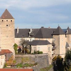
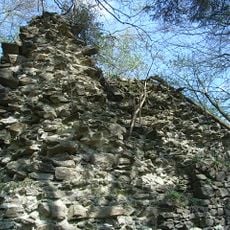
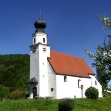
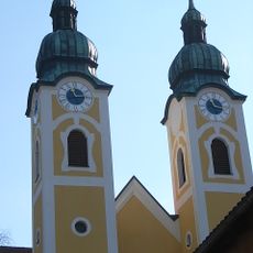
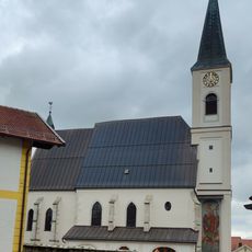
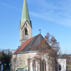
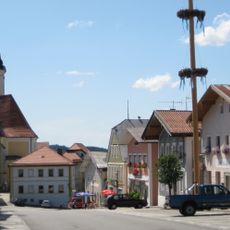
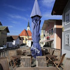
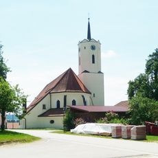
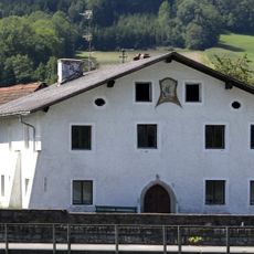
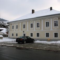
The name Untergriesbach points to the lower part of the Griesbach valley, a geographic detail that still makes sense when you walk through the area. The village center retains the layout of a traditional Bavarian market town, with older buildings grouped around a central point.
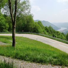
Untergriesbach is reached by country roads and sits at a reasonable distance from Passau, making it easy to visit as a day trip. Public transport options are limited, so having your own vehicle makes getting around much more convenient.
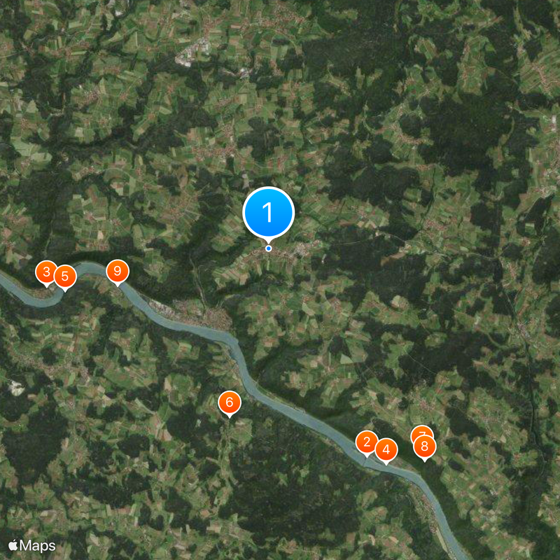
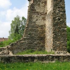
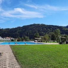
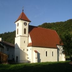
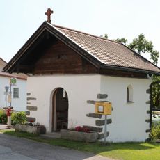
Although Untergriesbach is a small community, its municipal area covers several scattered hamlets and isolated farmsteads spread across the surrounding hills. Travelers who explore beyond the village center often come across these remote farms that rarely appear on tourist maps.
The community of curious travelers
AroundUs brings together thousands of curated places, local tips, and hidden gems, enriched daily by 60,000 contributors worldwide.