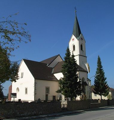
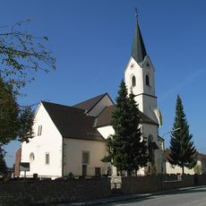
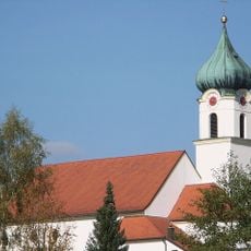
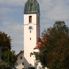
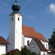
Tiefenbach, municipality of Passau district in Germany
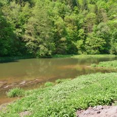
Tiefenbach is a municipality near Passau in Bavaria. The area consists of residential buildings, farmland, and small village centers spread across the region.
Tiefenbach developed as a rural settlement in the Passau region over centuries as an agricultural community. The area remained shaped by traditional farming practices for extended periods.
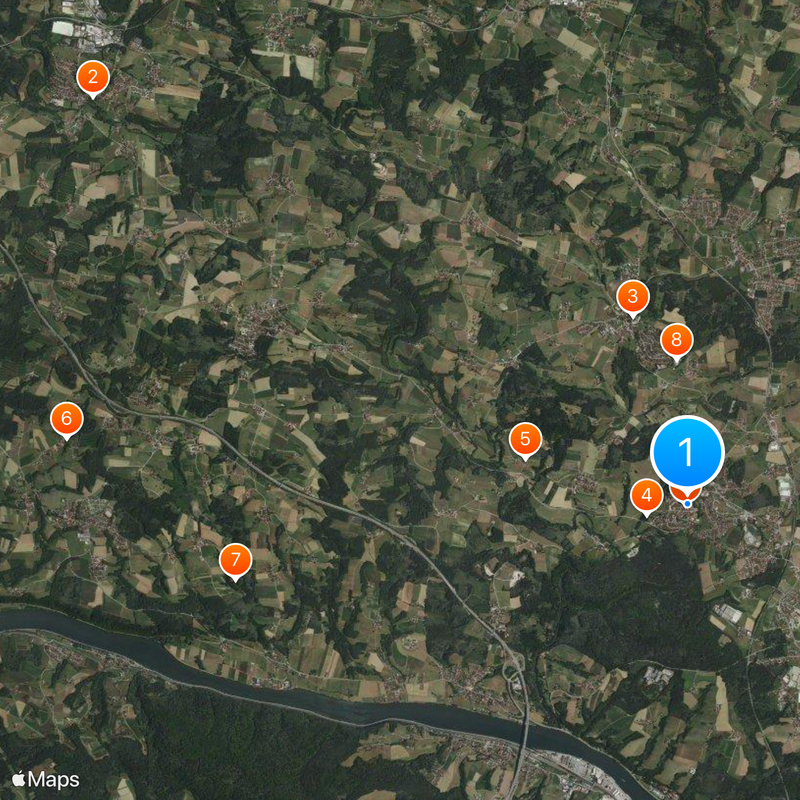
As a rural municipality, Tiefenbach is best reached by car or bicycle, as public transportation is limited. Visitors can explore the village itself or the surrounding natural landscape depending on their interests.
The community of curious travelers
AroundUs brings together thousands of curated places, local tips, and hidden gems, enriched daily by 60,000 contributors worldwide.