
Trogen, municipality of Germany
Location: Hof
Elevation above the sea: 508 m
Part of: Verwaltungsgemeinschaft Feilitzsch, Hofer Land
Shares border with:
Website: http://trogen.de
GPS coordinates: 50.36439,11.95325
Latest update: March 5, 2025 19:06

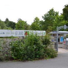
Zoologischer Garten Hof
4.3 km
Wiedersberg Castle
3.2 km
Weisheitstempel
4.1 km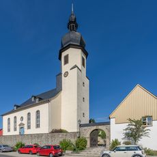
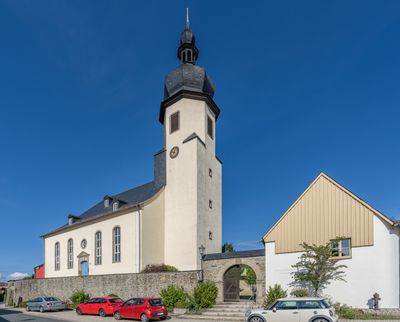
Parish church in Trogen
24 m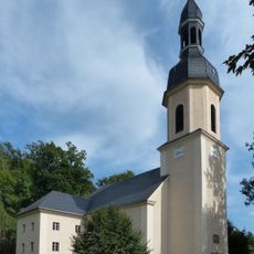
St. Michaelis (Wiedersberg)
3.3 km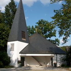
Friedenskirche
3.4 km
Feilebach
3.9 km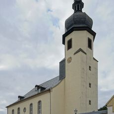
Chorturmkirche
31 m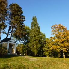
LSG Theresienstein der Stadt Hof
3.9 km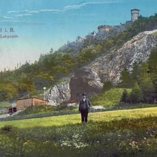
Labyrinthbruch NE von Hof
3.7 km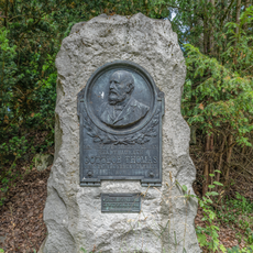
Denkmal Luitpoldhain in Hof (Saale)
4.3 km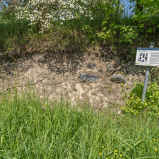
Leimitz formation
4.2 km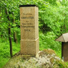
Station 158 Kandelstein
4.9 km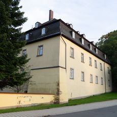
Herrenhaus
261 m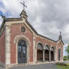
Mausoleum
464 m
St. Johannes Nepomuk
843 m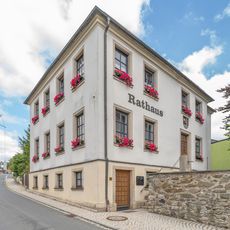
Rathaus Trogen
48 m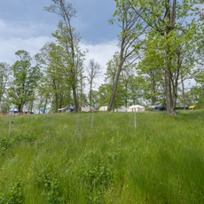
Ruine
3.8 km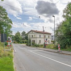
Hauptstraße
1.4 km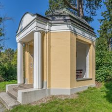
Gartentempel Alfred-Klunker-Anlage; Eichelberg; Wießmuth-Anlage in Hof (Saale)
4.1 km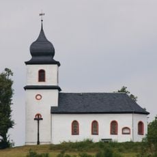
Ehemalige Wallfahrtskapelle
4.2 km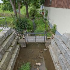
Langenlohbach
126 m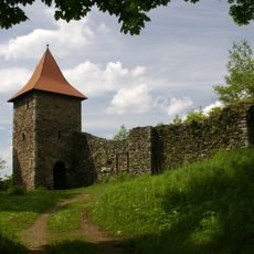
Einzeldenkmale Burg Wiedersberg Am Feilebach
3.2 km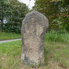
Gedenkkreuz
459 m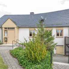
Protestant parish hall
55 m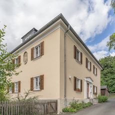
Evang.-Luth. parish office Trogen
140 m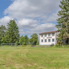
YMCA Trogen
422 m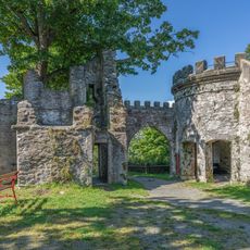
Ruine Labyrinth in Hof (Saale)
3.7 kmVisited this place? Tap the stars to rate it and share your experience / photos with the community! Try now! You can cancel it anytime.
Discover hidden gems everywhere you go!
From secret cafés to breathtaking viewpoints, skip the crowded tourist spots and find places that match your style. Our app makes it easy with voice search, smart filtering, route optimization, and insider tips from travelers worldwide. Download now for the complete mobile experience.

A unique approach to discovering new places❞
— Le Figaro
All the places worth exploring❞
— France Info
A tailor-made excursion in just a few clicks❞
— 20 Minutes