
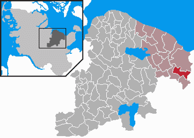
Kletkamp, municipality of Germany
Location: Plön District
Elevation above the sea: 51 m
Website: https://www.amt-luetjenburg.de/amtsgemeinden/kletkamp.html
Website: https://amt-luetjenburg.de/amtsgemeinden/kletkamp.html
GPS coordinates: 54.24957,10.63842
Latest update: March 4, 2025 13:32
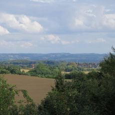
Bungsberg
7 km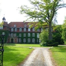
Gut Testorf
8.9 km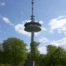
Bungsberg telecommunications tower
7.1 km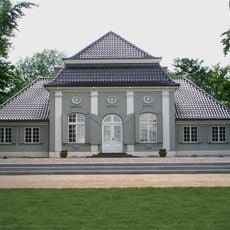
Jagdpavillon
7.5 km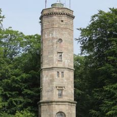
Elisabeth-Tower
7.2 km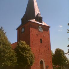
St. Michaeliskirche (Lütjenburg)
5.7 km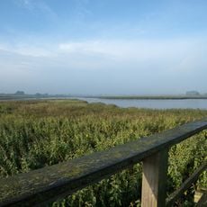
Sehlendorfer Binnensee und Umgebung
6.9 km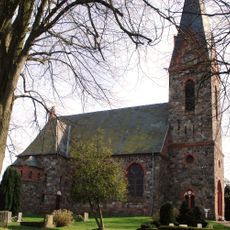
Christuskirche
7.5 km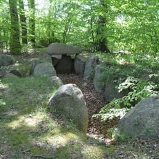
Großsteingrab Flehm 1
2.6 km
Großer Schlichtenberg, Blekendorf
5.3 km
Döhnsdorfer Burg
7.7 km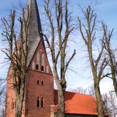
St. Claren
3 km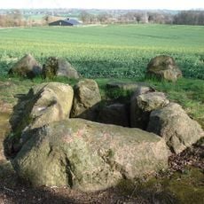
Großsteingräber bei Futterkamp
5.8 km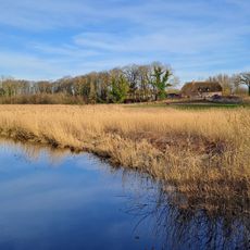
Kossautal und angrenzende Flächen
5 km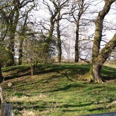
Kleiner Schlichtenberg, Blekendorf
5.5 km
Ukleiau
7.6 km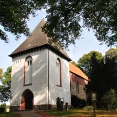
Marienkirche
5.6 km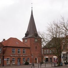
Kirche St. Michaelis
5.7 km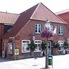
Wohnhaus mit Gewerbe
5.8 km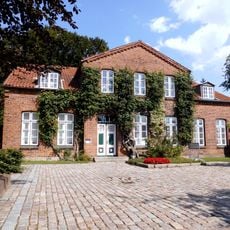
Wehdenstraße 14
5.7 km
Gut Testorf: Herrenhaus
8.9 km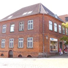
Wohn- und Geschäftshaus Markt 24
5.7 km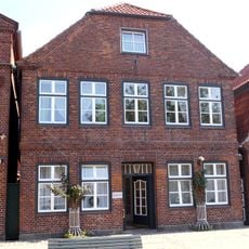
Wohnhaus Markt 2
5.7 km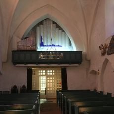
Kirche St. Marien mit Ausstattung
5.6 km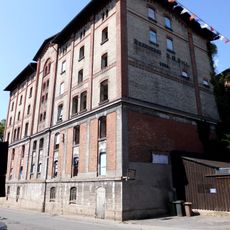
Ehem. Kornbrennerei: mehrgeschossige Brennerei
5.7 km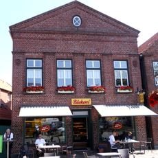
Wohn- und Geschäftshaus
5.7 km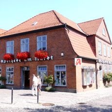
Apotheke
5.7 km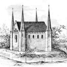
Gut Kletkamp: Herrenhaus
168 mReviews
Visited this place? Tap the stars to rate it and share your experience / photos with the community! Try now! You can cancel it anytime.
Discover hidden gems everywhere you go!
From secret cafés to breathtaking viewpoints, skip the crowded tourist spots and find places that match your style. Our app makes it easy with voice search, smart filtering, route optimization, and insider tips from travelers worldwide. Download now for the complete mobile experience.

A unique approach to discovering new places❞
— Le Figaro
All the places worth exploring❞
— France Info
A tailor-made excursion in just a few clicks❞
— 20 Minutes