Bungsberg, Summit and mountain in Schönwalde am Bungsberg, Germany
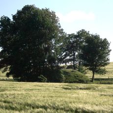
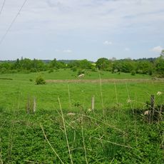
Bungsberg is a low, broad hill of dense green trees and open brown fields, rising to 167.4 metres above sea level as the highest point in Schleswig-Holstein. Near its crest, partly screened by trees, sits a small cluster of buildings with reddish-brown roofs and light walls. A waymarker stone on the hill gives the height as 168 metres.
The mountain formed during the Saale glaciation about 150,000 years ago as a terminal moraine left behind by glaciers. This geological structure continues to shape the region's landscape.
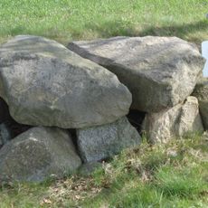
The Bungsberg lies on a shared spur path of the European long-distance trails E1 and E6, so walkers pass the summit on their way across Holstein Switzerland. A granite pillar on the summit marks the Danish degree measurement carried out around 1838. The Schwentine, one of Schleswig-Holstein's longest rivers, rises near the hill.
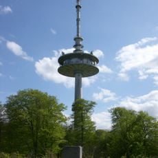
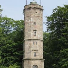
The summit is reached on foot: the European long-distance trails E1 and E6 share a spur path over the hill, and the Elisabethturm stands about 180 m south-southeast of the top. The free viewing platform on the telecommunications tower, 40 m up, is reached by steps. In winter a drag lift serves the pistes only when snow cover allows.
During winter months, the site operates as Germany's northernmost ski area with three runs and a drag lift when snow allows. This transforms the normally green hillside into an unexpected winter sports destination.
The community of curious travelers
AroundUs brings together thousands of curated places, local tips, and hidden gems, enriched daily by 93,394 contributors worldwide.