
Rothenberg, municipal district of Oberzent in Odenwaldkreis, Germany
Location: Oberzent
Elevation above the sea: 482 m
Website: http://rothenberg-odw.eu
GPS coordinates: 49.49931,8.91847
Latest update: March 5, 2025 09:12
Beerfelder Galgen
8.7 km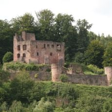
Burg Freienstein
4.5 km
St. Maria in Lichtenklingen
8.6 km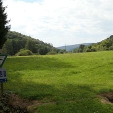
Finkenbachtal bei Finkenbach
2.1 km
Dicke Eiche (Airlenbach)
9.4 km
Harfenburg
7 km
Hammerschlösschen
9.2 km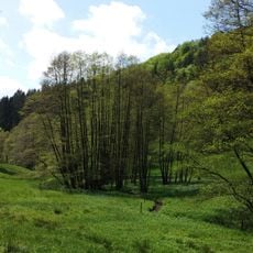
Naturschutzgebiet Eiterbachtal von Wald-Michelbach
8.1 km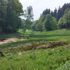
Naturschutzgebiet Dürr-Ellenbachtal von Wald-Michelbach
9.1 km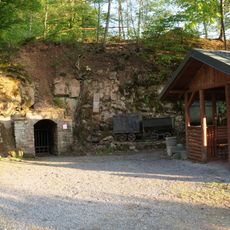
Grube Ludwig
8.8 km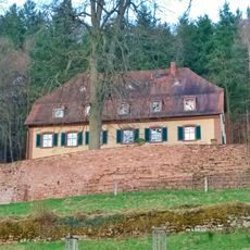
Jagdschloss Gammelsbach
6.2 km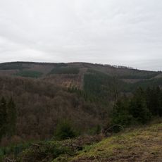
Hohe Warte
4.8 km
Hainbrunner Tal bei Hirschhorn
3.5 km
Martinskirche
8.7 km
Evangelische Kirche
3.9 km
Stellsteinreihe
1.4 km
Brombachertal
4 km
Mümlingquelle
8.7 km
Jakobsgrund bei Gammelsbach
6.1 km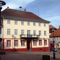
Rathaus
8.6 km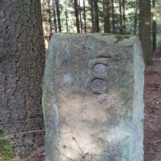
Teilungsstein, sogenannter Dreimärker
11.2 km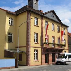
Ehemaliges Rathaus
8.7 km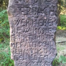
Verbotsstein
11.3 km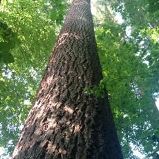
Douglasie
5.1 km
Finkenbachtal und Hinterbachtal
4.2 km
Oberes Ulfenbachtal bei Unter-Schönmattenwag
5.4 km
Magerwiesen von Raubach
6.4 km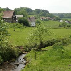
Jakobsgrund und Gammelsbachaue
4.2 kmVisited this place? Tap the stars to rate it and share your experience / photos with the community! Try now! You can cancel it anytime.
Discover hidden gems everywhere you go!
From secret cafés to breathtaking viewpoints, skip the crowded tourist spots and find places that match your style. Our app makes it easy with voice search, smart filtering, route optimization, and insider tips from travelers worldwide. Download now for the complete mobile experience.

A unique approach to discovering new places❞
— Le Figaro
All the places worth exploring❞
— France Info
A tailor-made excursion in just a few clicks❞
— 20 Minutes