Oberzent, Urban municipality in Odenwald region, Germany
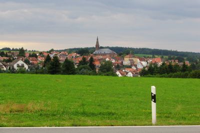
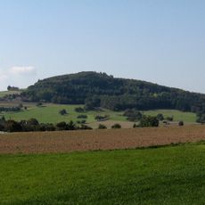
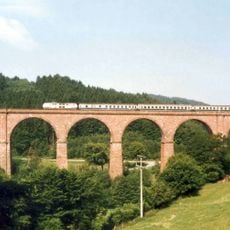
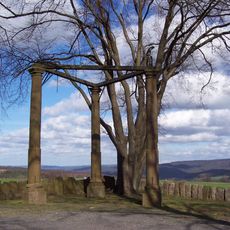
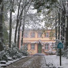
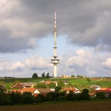
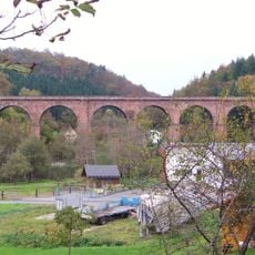
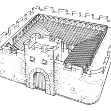
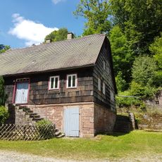
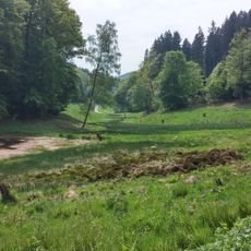
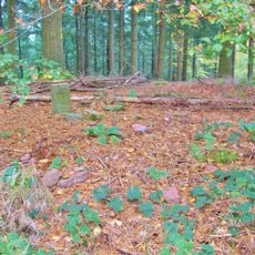
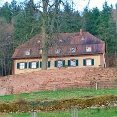
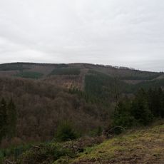
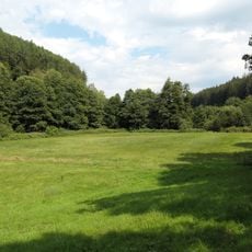
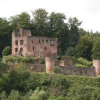
Oberzent is a municipality in the Odenwald region of Hesse, formed by uniting four previously separate communities. The town is spread across forested hillside terrain and includes nineteen distinct quarters with varying characteristics.
The municipality was formed on January 1, 2018, when four communities—Beerfelden, Hesseneck, Rothenberg, and Sensbachtal—merged into a single administrative entity. This consolidation aimed to streamline regional administration and strengthen the viability of smaller towns.
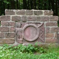
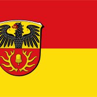
The coat of arms displays symbols representing its component parts, including a bear for Beerfelden and an acorn with antlers for Rothenberg. These emblems reflect the heritage of the communities that united to form this municipality.
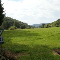
The municipality sits in the rolling hills of the Odenwald and is best reached by car or local buses. Visitors should note that the separate quarters are spread across a large area, and traveling between them may require longer driving times.
Oberzent deliberately preserves the independence of its four founding communities despite operating under unified administration. Each component retains its local identity and name, making the municipality an interesting example of administrative unity alongside cultural diversity.
The community of curious travelers
AroundUs brings together thousands of curated places, local tips, and hidden gems, enriched daily by 60,000 contributors worldwide.