
Ramin, municipality of Germany
Location: Vorpommern-Greifswald District
Elevation above the sea: 25 m
Website: http://loecknitz-online.de/alp/gemeinden/ramin.php
GPS coordinates: 53.41389,14.29167
Latest update: March 25, 2025 13:47
Szczecin Gumieńce-Grambow border crossing
5.4 km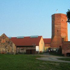
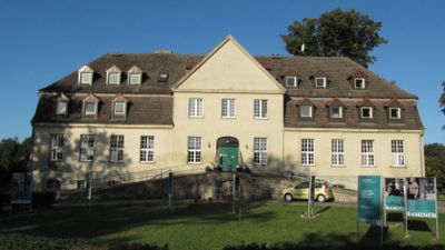
Löcknitz Castle
7.2 km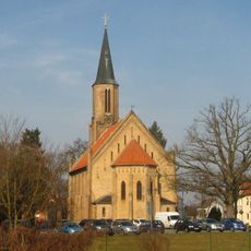
Church in Löcknitz
7.1 km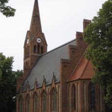
Church in Bergholz
8.8 km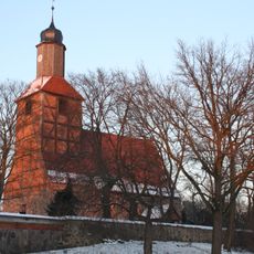
Dorfkirche (Menkin)
6.2 km
Regina Mundi church in Dobra
10.3 km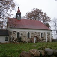
Our Lady of Perpetual Help church in Bobolin
7 km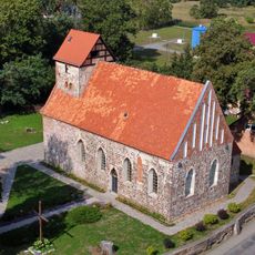
Saint Anthony of Padua church in Buk
10.4 km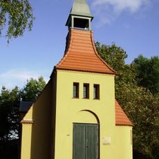
Kapelle Wilhelmshof
4.2 km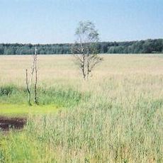
Plöwensches Seebruch
6.3 km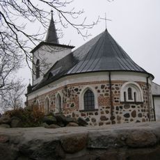
Our Lady of Fatima church in Stobno
9.1 km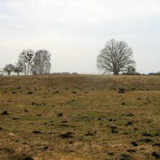
Burgwall Hühnerwinkel
7.2 km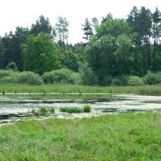
Jezioro Kościńskie
6.2 km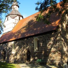
Ramin Church
152 m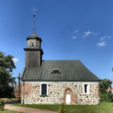
Our Lady of Częstochowa church in Wąwelnica
9 km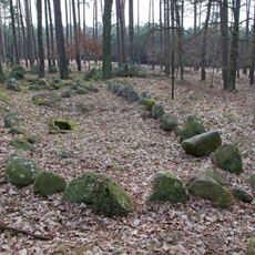
Großsteingrab Wollschow 1
5.1 km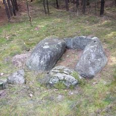
Großsteingrab Wollschow 5
5.2 km
Mała Góra (Wzniesienia Szczecińskie)
8.8 km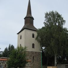
Church in Grimme
9.4 km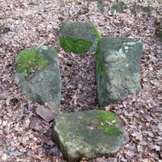
Großsteingrab Wollschow 2
5.2 km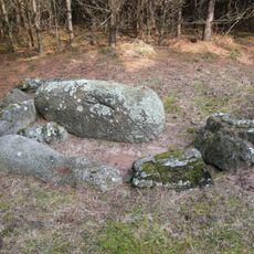
Großsteingrab Wollschow 3
5.2 km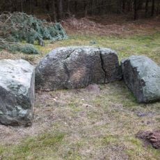
Großsteingrab Wollschow 4
5.2 km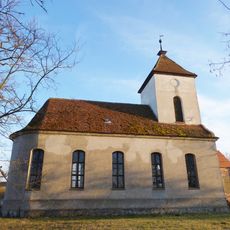
Church in Wollschow
6.7 km
Alpakowy Gaj
7 km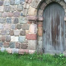
Dorfkirche Plöwen
5.9 km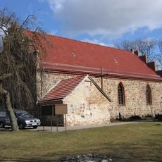
Kościół Matki Boskiej Królowej Świata
10.3 km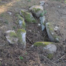
Großsteingrab Wollschow 23
5.7 km
Necropolis of Wollschow
5.2 kmVisited this place? Tap the stars to rate it and share your experience / photos with the community! Try now! You can cancel it anytime.
Discover hidden gems everywhere you go!
From secret cafés to breathtaking viewpoints, skip the crowded tourist spots and find places that match your style. Our app makes it easy with voice search, smart filtering, route optimization, and insider tips from travelers worldwide. Download now for the complete mobile experience.

A unique approach to discovering new places❞
— Le Figaro
All the places worth exploring❞
— France Info
A tailor-made excursion in just a few clicks❞
— 20 Minutes