
Mistorf, municipality of Germany
Location: Rostock District
Elevation above the sea: 25 m
Website: http://amt-guestrow-land.de
GPS coordinates: 53.88306,12.15000
Latest update: May 10, 2025 12:32
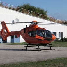
Christoph 34
8.6 km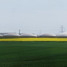
BioEnergie Park Güstrow
7.1 km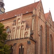
Pfarrkirche St. Marien
10.1 km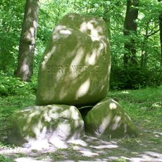
Burg Werle
4.7 km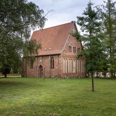
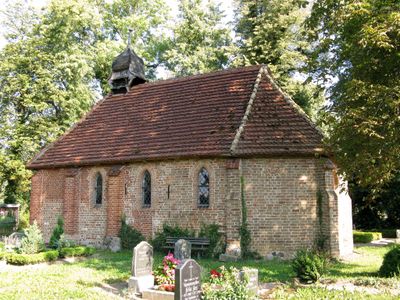
Gertrudenkapelle
9.8 km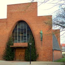
Mariä-Himmelfahrt-Kirche
9.5 km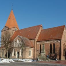
St. Paul
7 km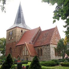
Church in Hohen Sprenz
4.8 km
Dorfkirche Kritzkow
6.3 km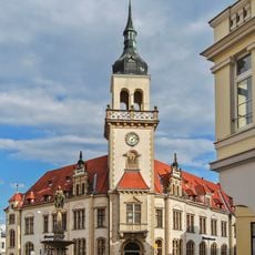
Postamt Güstrow
10 km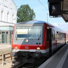
Güstrow railway station
9.3 km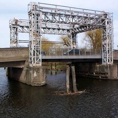
Hubbrücke Schwaan
6.8 km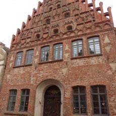
Güstrow Mühlenstraße 48
10.1 km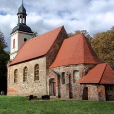
Protestant Church
8.7 km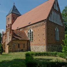
Church in Kambs
6.6 km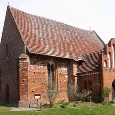
Dorfkirche Parum
8.2 km
Church in Lüssow
4.9 km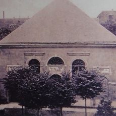
Synagogue Guestrow
10 km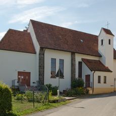
St. Joseph
6.7 km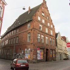
Gleviner Straße Nr. 1
10.2 km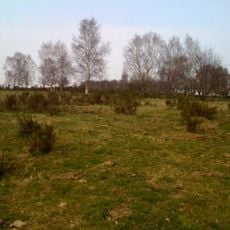
Bockhorst
9.7 km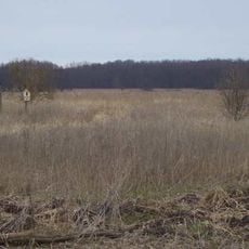
Zehlendorfer Moor
9.4 km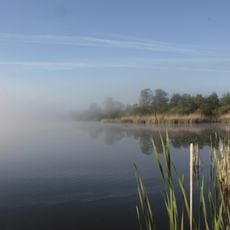
Südliches Warnowland und Burg Werle
5.2 km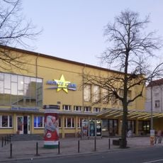
Schauburg
9.6 km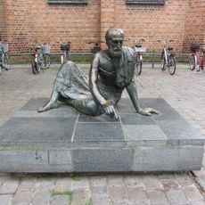
Archimedes
10.1 km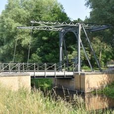
Lüssow drawbridge
7.5 km
Bockhorst
9.8 km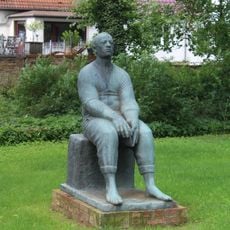
Lesender Arbeiter
9.8 kmReviews
Visited this place? Tap the stars to rate it and share your experience / photos with the community! Try now! You can cancel it anytime.
Discover hidden gems everywhere you go!
From secret cafés to breathtaking viewpoints, skip the crowded tourist spots and find places that match your style. Our app makes it easy with voice search, smart filtering, route optimization, and insider tips from travelers worldwide. Download now for the complete mobile experience.

A unique approach to discovering new places❞
— Le Figaro
All the places worth exploring❞
— France Info
A tailor-made excursion in just a few clicks❞
— 20 Minutes