Gartenstadt, Statistical district in Nuremberg, Germany
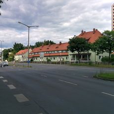
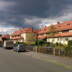
Gartenstadt is a statistical district area in Nuremberg covering a residential zone in the northeastern part of the city. The territory serves as an administrative unit for data collection and urban planning purposes.
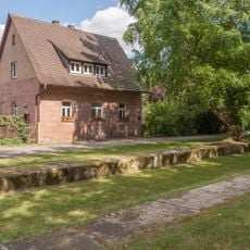
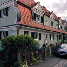
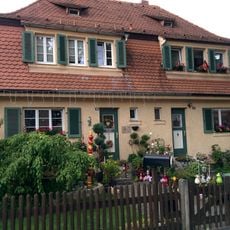
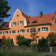
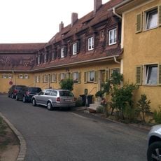
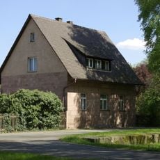
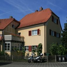
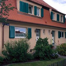
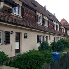
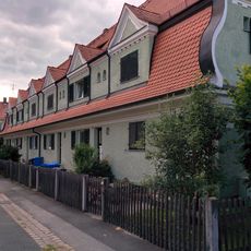
The area emerged in the early 20th century as part of deliberate urban development in Nuremberg. The neighborhood was systematically structured as a residential zone and developed into an established district.
The district maintains statistical records that reflect population demographics, social patterns, and community characteristics within the greater Nuremberg metropolitan area.
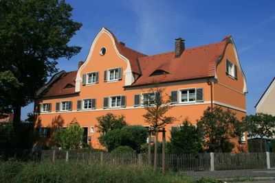
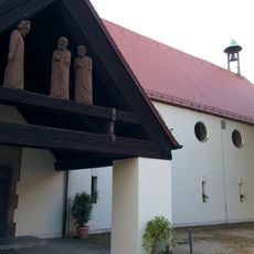
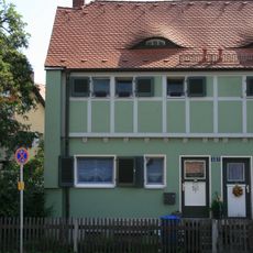
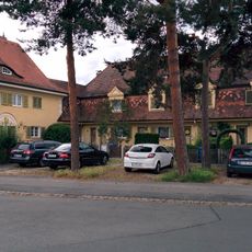
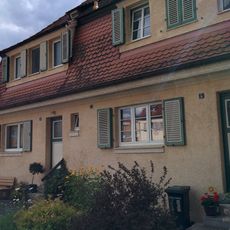
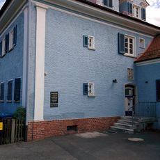
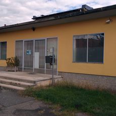
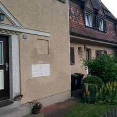
The district lies in the northeast of Nuremberg and is well connected by public transport. Visitors and residents find typical neighborhood infrastructure and facilities here.
The area serves as a model for data-driven urban development, providing detailed insights into population trends and social dynamics in Nuremberg.
The community of curious travelers
AroundUs brings together thousands of curated places, local tips, and hidden gems, enriched daily by 60,000 contributors worldwide.