
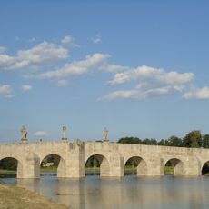
Johannisbrücke, Brücke in Tirschenreuth
Location: Tirschenreuth
Address: Dammstraße,Mühlbach,Nähe Dammstraße
GPS coordinates: 49.88070,12.33980
Latest update: May 5, 2025 14:26
Fischhofbrücke
209 m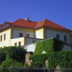
Museumsquartier Tirschenreuth
195 m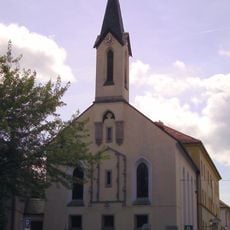
Fatimakirche (Tirschenreuth)
195 m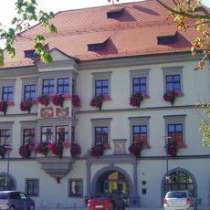
Rathaus Tirschenreuth
331 m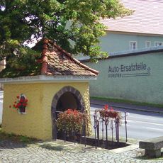
Murschrottkapelle
84 m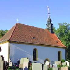
Friedhofskirche St. Johannis
218 m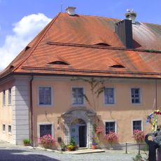
Pfarrhof (Tirschenreuth)
297 m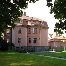
Ehemalige Industriellenvilla, sogenannte Mezgervilla
443 m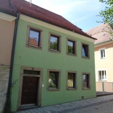
Wohnhaus
398 m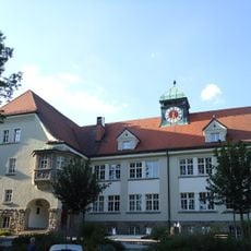
Ehemalige Luitpold-Schule, jetzt Amtsgebäude III des Landratsamtes
196 m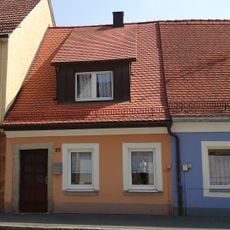
Wohnhaus
371 m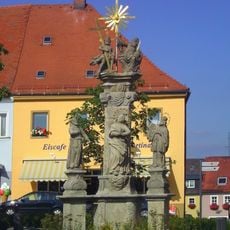
Pestvotivsäule, sogenannte Dreifaltigkeitssäule
288 m
Ehemaliges Ackerbürgeranwesen
344 m
Ehemalige Fronveste, später Waldsassener Kasten und Rentamt
242 m
Ehemaliges Benefiziatenhaus
183 m
Gasthof und Wohnhaus
350 m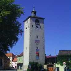
Klettnersturm
274 m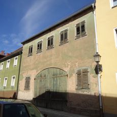
Stadel
415 m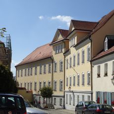
Ehemaliges Hospital
282 m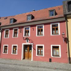
Wohnhaus
241 m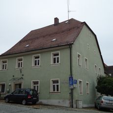
Wohnhaus
244 m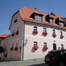
Wohnhaus
226 m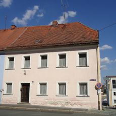
Wohnhaus
291 m
Gasthof
32 m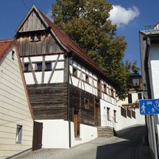
Ehemaliges Wohnstallhaus, sogenanntes Matheshaus
402 m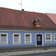
Wohnhaus
379 m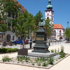
Denkmal des Germanisten und bayerischen Sprachforschers Johann Andreas Schmeller
334 m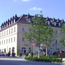
Ehemalige Posthalterei, jetzt Wohn- und Geschäftshaus
436 mReviews
Visited this place? Tap the stars to rate it and share your experience / photos with the community! Try now! You can cancel it anytime.
Discover hidden gems everywhere you go!
From secret cafés to breathtaking viewpoints, skip the crowded tourist spots and find places that match your style. Our app makes it easy with voice search, smart filtering, route optimization, and insider tips from travelers worldwide. Download now for the complete mobile experience.

A unique approach to discovering new places❞
— Le Figaro
All the places worth exploring❞
— France Info
A tailor-made excursion in just a few clicks❞
— 20 Minutes