Land Hadeln, Historic administrative district in Lower Saxony, Germany
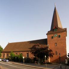
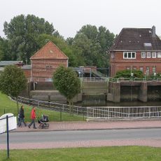
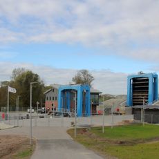
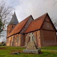
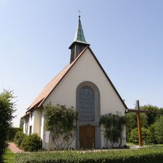
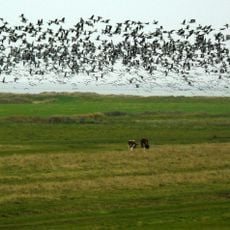
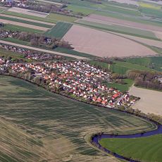
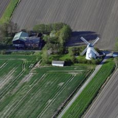
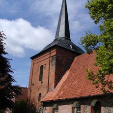
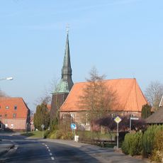
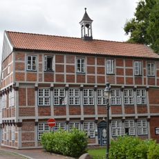
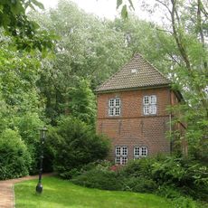
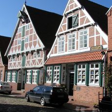
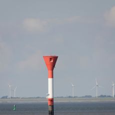
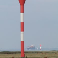
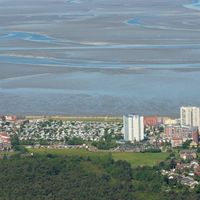
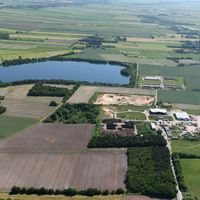
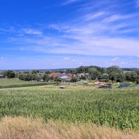
Land Hadeln is a historic administrative district in Lower Saxony that stretches across flat marshland near the Elbe estuary with Otterndorf as its administrative center. The area is shaped by its proximity to the river and consists of many villages and farmland marked for centuries by water management systems.
The territory received its current form in 1932 as an administrative district in Prussia. It existed under this name until 1977, when it merged with other areas to form Cuxhaven district.
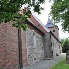
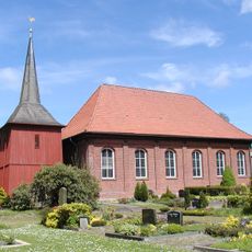
The region reflects medieval traditions that shape how people live together today. You can see this in the way villages are organized and how water management and farming define daily life.
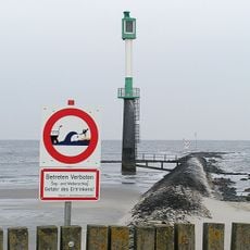
The flat landscape is easy to access, but visitors should expect damp and boggy ground, especially in autumn and winter months. Good footwear and caution around water are practically unavoidable when exploring the area.
The name comes from Haduloha, mentioned in Royal Frankish Annals and once referring to territories north of a major land ridge. This medieval designation reveals how ancient the human connection to this marshland really is.
The community of curious travelers
AroundUs brings together thousands of curated places, local tips, and hidden gems, enriched daily by 60,000 contributors worldwide.