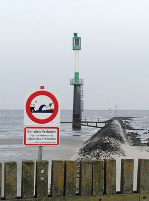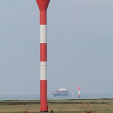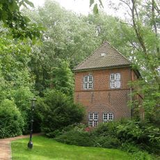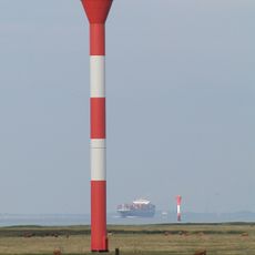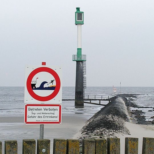
Glameyer Stack, Coastal protection groyne in Land Hadeln, Germany.
Glameyer Stack is a coastal defense structure at the Lower Elbe near Altenbruch that extends roughly 200 meters into the river. It controls water currents and prevents the river channel from shifting further downstream.
Completed in 1802 at a length of 200 metres, the Glameyer-Stack is a groyne in the Altenbrucher Bogen dyke section of the Lower Elbe. It formed part of the bank stabilisation works by hydraulic engineer Reinhard Woltman, carried out with Hamburg-Cuxhaven and Hadeln interests, which halted the river's southward shift. The name comes from the owner of the adjoining land at the time.
The name Glameyer-Stack comes from the owner of the adjoining land when the groyne was finished in 1802. The structure is a Abweiserbuhne, a deflecting groyne, at river kilometre 713 on the Altenbrucher Bogen, the southward bend the Lower Elbe makes before Cuxhaven. A white sign on a grey pole warns "Betreten Verboten" and "Gefahr des Ertrinkens!", issued by the Wasser- u. Schifffahrtsamt Cuxhaven.
The structure sits at river kilometer 713 and is visible from an elevated riverside path where currents can be observed clearly. Visitors should note the strong tidal movements visible twice daily as seawater and freshwater meet.
The river reaches depths of around 30 meters at this location, making it one of the deepest points along the Lower Elbe. This unusual depth developed partly due to soil displacement caused by the structure itself.
The community of curious travelers
AroundUs brings together thousands of curated places, local tips, and hidden gems, enriched daily by 93,867 contributors worldwide.