
Scharnhausen, quarter of Ostfildern, Baden-Württemberg, Germany
Location: Ostfildern
Elevation above the sea: 305 m
GPS coordinates: 48.70850,9.26430
Latest update: March 3, 2025 05:35
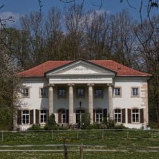
Lustschloss Scharnhausen
380 m
Flugplatz Nellingen
1.3 km
Mittleres Körschtal
396 m
Sukzessionsfläche im Scharnhauser Park
714 m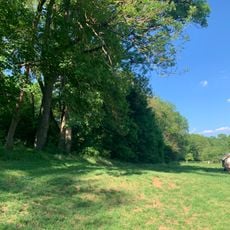
Ehemaliger Mühlkanal
1.3 km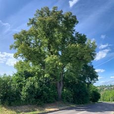
1 Linde
470 m
Feldgehölz im Gewann Zeiler
984 m
Altarm der Körsch
1.3 km
Rohrbach
1.5 km
Wald am Höfelbach
789 m
Gehölzgruppe in den Maierwiesen
267 m
Kastanienallee im Scharnhauser Park
499 m
Parkhecke südlicher Teil
311 m
Riedwiesen
1.1 km
Krähenbach
919 m
Vogelschutzgehölz
1.5 km
Vulkanschlot
802 m
Klinge bei Stockhausen
1.4 km
5 Eichen mit Vogelschutzgehölz
1.5 km
Parkhecke nördlicher Teil
1.6 km
Baumgruppe im Gewann Häuser Weg
1.5 km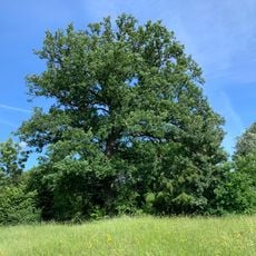
Eiche an der Bernhauser Straße
340 m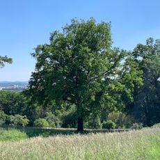
1 Eiche
1.4 km
1 Eiche
567 m
Feuchtgebiet in den Holzwiesen
1.5 km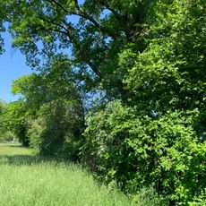
Feldhecke im Gewann Gässle
1.4 km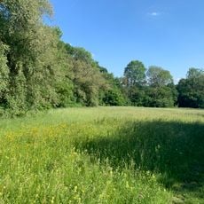
Feldgehölz mit Magerwiese am Krähenbach
736 m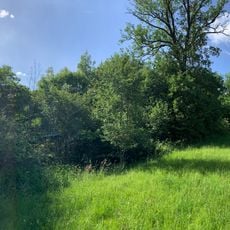
Feldgehölz im Gewann Krähenbach
767 mReviews
Visited this place? Tap the stars to rate it and share your experience / photos with the community! Try now! You can cancel it anytime.
Discover hidden gems everywhere you go!
From secret cafés to breathtaking viewpoints, skip the crowded tourist spots and find places that match your style. Our app makes it easy with voice search, smart filtering, route optimization, and insider tips from travelers worldwide. Download now for the complete mobile experience.

A unique approach to discovering new places❞
— Le Figaro
All the places worth exploring❞
— France Info
A tailor-made excursion in just a few clicks❞
— 20 Minutes