
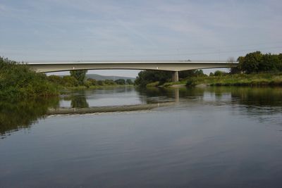
Weserbrücke, Straßen- und Fußgängerbrücke in Höxter
Location: Höxter
Inception: 1977
GPS coordinates: 51.79389,9.42750
Latest update: November 28, 2025 14:29

Princely Abbey of Corvey
2.2 km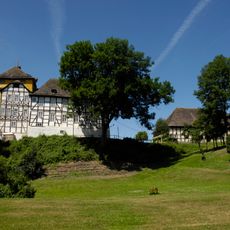
Tonenburg
2.8 km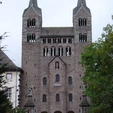
St. Stephanus und Vitus (Corvey)
2.1 km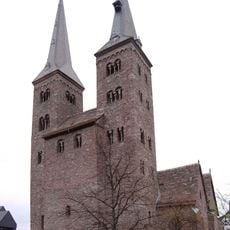
St. Kiliani
3.7 km
Fürstliche Bibliothek Corvey
2 km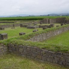
Tom Roden
2.1 km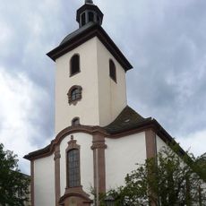
St. Nikolai
3.8 km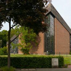
St. Josef
4 km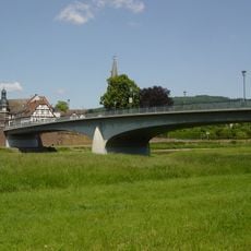
Weserbrücke
3.8 km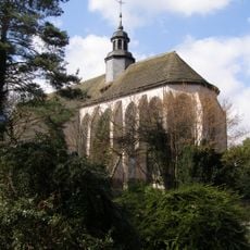
Marienkirche
3.5 km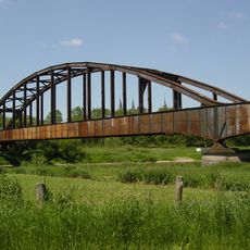
Eisenbahnbrücke Corvey
2.1 km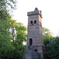
Emperor William Tower
2.4 km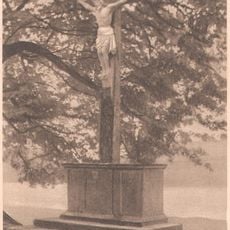
Dreizehnlinden-Kreuz
1.7 km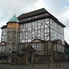
Amtsgericht Höxter
3.9 km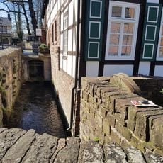
Obermühle
4 km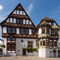
Alte Dechanei
3.8 km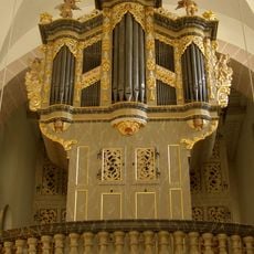
Pipe organ of St. Kiliani
3.8 km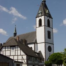
St. Johannes Baptist
419 m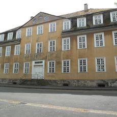
Dreizehnlindenhaus
2.2 km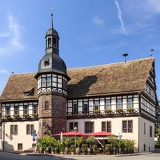
Rathaus Höxter
3.8 km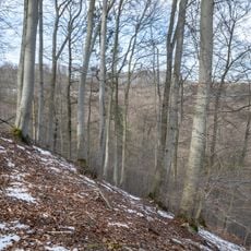
Teufelschlucht
2.3 km
Räuschenberg
3.9 km
LSG-Hoexter Ost
3.4 km
Stahler Ufer
3.7 km
LSG-Raeuschenbergplateau mit Loesshangzone zwischen Hoexter und Brenkhausen
3.3 km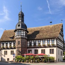
Rathaus Höxter
3.8 km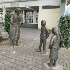
Hänsel-und-Gretel-Brunnen
3.9 km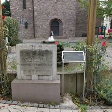
Gedenktafel an den Besuch von Wilhelm Oranien-Nassau in Höxter
3.8 kmReviews
Visited this place? Tap the stars to rate it and share your experience / photos with the community! Try now! You can cancel it anytime.
Discover hidden gems everywhere you go!
From secret cafés to breathtaking viewpoints, skip the crowded tourist spots and find places that match your style. Our app makes it easy with voice search, smart filtering, route optimization, and insider tips from travelers worldwide. Download now for the complete mobile experience.

A unique approach to discovering new places❞
— Le Figaro
All the places worth exploring❞
— France Info
A tailor-made excursion in just a few clicks❞
— 20 Minutes