Pegnitzau zwischen Ranna und Michelfeld

Log in to your account

AroundUs is a community-driven map of interesting places, built by curious explorers like you. It grows with every review, story, and photo you share.
Connect to save your favorite spots, contribute locations, and create personalized routes.
Continue with Google
Continue with Apple
Continue with X
Continue with Facebook
Continue with email
By continuing, you accept our Terms and Conditions and our Privacy Policy
Create an account

Pegnitzau zwischen Ranna und Michelfeld

Add to collection
Map
Suggest a change
Share

Pegnitzau zwischen Ranna und Michelfeld, Protected river valley in Bavaria, Germany

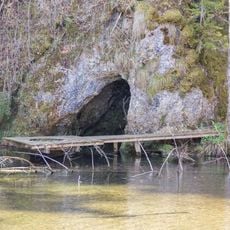
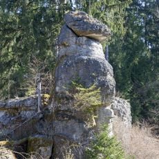
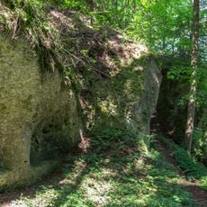
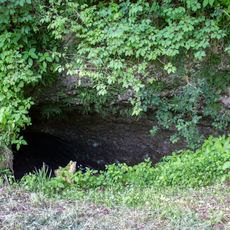
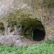
The Pegnitzau zwischen Ranna und Michelfeld is a protected nature reserve in the Upper Palatinate region featuring river valley habitats and wet meadows across roughly 198 hectares. The area spans several districts and contains natural stretches of the Pegnitz River with typical floodplain structures.

The nature reserve was designated in 1998 by the Bavarian State Office for the Environment to protect long river stretches from human interference. Its establishment was part of broader efforts to safeguard important river landscapes across Bavaria.

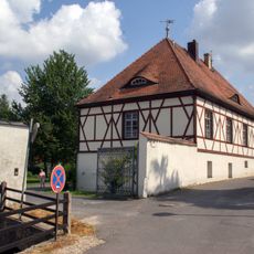
The meadows and floodplain areas still show traces of traditional farming methods that create habitat for rare plants and animals. Visitors notice wet pastures and natural features during walks that are characteristic of the Upper Palatinate region.

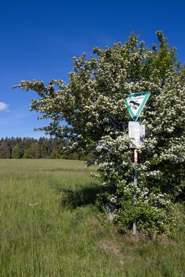
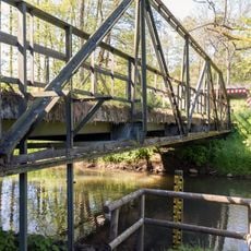
The area is best explored on cycling and hiking trails that wind through the landscape, with information panels at Kammerweiher ponds for learning. Visitors should bring weather-appropriate clothing as wet meadows make the ground damp and sometimes muddy.

Two large fish ponds called Kammerweiher provide refuge for around 60 bird species and create a visual contrast to the river valley. Many visitors overlook these ponds despite their richness for birdwatching and nature observation.

Location: Neuhaus an der Pegnitz

Location: Veldensteiner Forst

Location: Auerbach in der Oberpfalz

Inception: 1998

GPS coordinates: 49.68916,11.55831

Latest update: December 14, 2025 13:04

Photos
Reviews

Visited this place? Tap the stars to rate it and share your experience / photos with the community! Try now! You can cancel it anytime.

« Pegnitzau zwischen Ranna und Michelfeld - Protected river valley in Bavaria, Germany » is provided by Around Us (aroundus.com). Images and texts are derived from Wikimedia project under a Creative Commons license. You are allowed to copy, distribute, and modify copies of this page, under the conditions set by the license, as long as this note is clearly visible.

Discover hidden gems everywhere you go!

From secret cafés to breathtaking viewpoints, skip the crowded tourist spots and find places that match your style. Our app makes it easy with voice search, smart filtering, route optimization, and insider tips from travelers worldwide. Download now for the complete mobile experience.

Around Us App Screenshot

A unique approach to discovering new places

Le Figaro

All the places worth exploring

France Info

A tailor-made excursion in just a few clicks

20 Minutes