
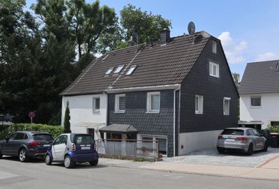
Solingen-Adamsfeld, zone résidentielle de Solingen, Allemagne
Location: Solingen
Elevation above the sea: 190 m
GPS coordinates: 51.18595,7.04160
Latest update: September 23, 2025 16:49
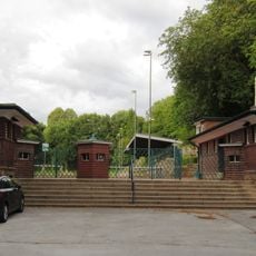
Jahnkampfbahn Wald
333 m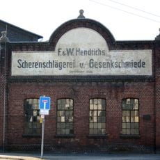
Hendrich's Drop Forge
1.7 km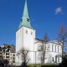
Protestant Church (Wald, Solingen)
262 m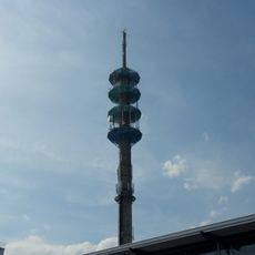
Fernmeldeturm Solingen
2.5 km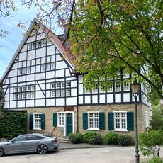
Solingen-Dahl
2.1 km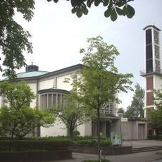
St. Chrysanthus und Daria
2.4 km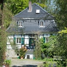
Bausmühle
1.4 km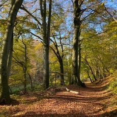
Mittleres Ittertal und Baverter Bachtal
2.4 km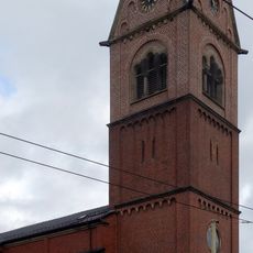
St. Katharina
863 m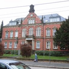
Rathaus Wald
379 m
Kotter Hammer
2.7 km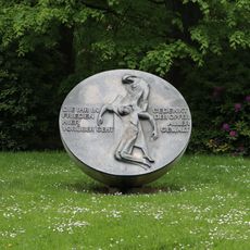
Walder Stadtpark
456 m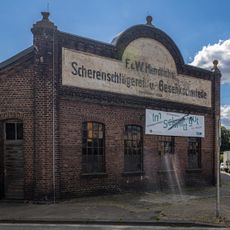
LVR Industrial Museum drop forging Hendrichs
1.7 km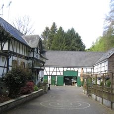
Scheider Mühle
837 m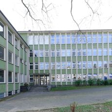
Walter-Bremer-Institut
2.8 km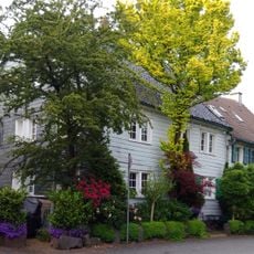
I. Stockdum
2.8 km
Alte Straße 11
258 m
Ehrener Mühle
1.6 km
Mühlenbusch
2.3 km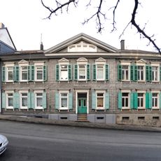
Blumenstraße 92-94-96
2.7 km
Zieleskotten
1.3 km
Bauskotten
1.4 km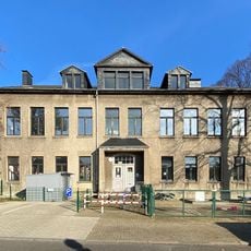
Schulgebäude Fürker Irlen
2.8 km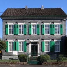
Merscheider Straße 143
2.6 km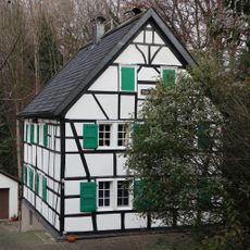
Solingen-Schwarzenhäuschen
2.4 km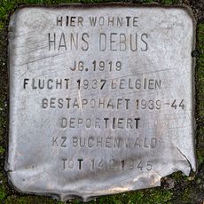
Stolperstein dedicated to Hans Debus
893 m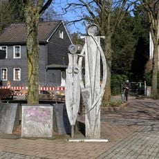
Bank der Zeit
2.4 km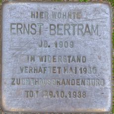
Stolperstein dedicated to Ernst Bertram
894 mReviews
Visited this place? Tap the stars to rate it and share your experience / photos with the community! Try now! You can cancel it anytime.
Discover hidden gems everywhere you go!
From secret cafés to breathtaking viewpoints, skip the crowded tourist spots and find places that match your style. Our app makes it easy with voice search, smart filtering, route optimization, and insider tips from travelers worldwide. Download now for the complete mobile experience.

A unique approach to discovering new places❞
— Le Figaro
All the places worth exploring❞
— France Info
A tailor-made excursion in just a few clicks❞
— 20 Minutes