
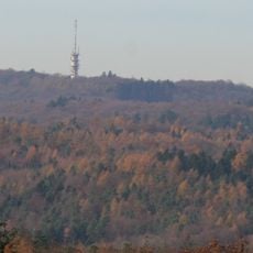
Staufenberg, hill in Heilbronn, Germany
Location: Heilbronn
Elevation above the sea: 301 m
GPS coordinates: 49.11036,9.22753
Latest update: March 2, 2025 23:39

Schweinsberg
1.6 km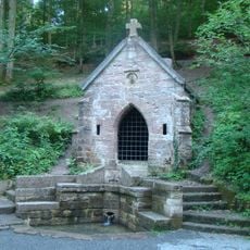
Köpferbrunnenanlage
2 km
Heilbronner Sandstone
633 m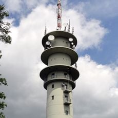
Fernmeldeturm Heilbronn
1.7 km
Cäcilienbrunnen
2 km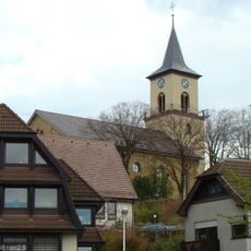
Veitskirche (Flein)
1.4 km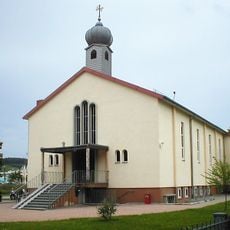
Mor-Ephräm-Kirche
1.6 km
Martin-Luther-Kirche
2.1 km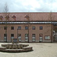
Rathaus (Flein)
1.5 km
Dreifaltigkeitskirche (Flein)
1.2 km
Altes Rathaus, Flein
1.5 km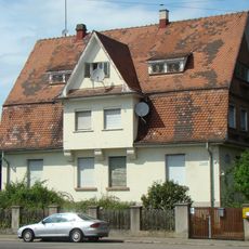
Liebigstraße 8
2.4 km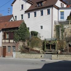
Altes Pfarrhaus (Flein)
1.5 km
St. Maria Immaculata
2.3 km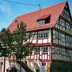
Fischerhaus, Flein
1.6 km
Schmollerstraße 22 und 24 (Heilbronn)
2.3 km
Wilderers Kreuz
1.3 km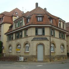
Schmollerstraße 64 (Heilbronn)
2.3 km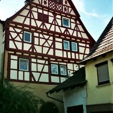
Kornhaus, Flein
1.6 km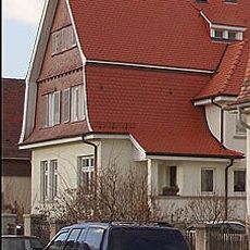
Liebigstraße 10
2.4 km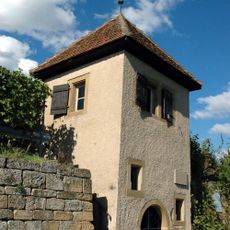
Karmeliterhäuschen (Flein)
606 m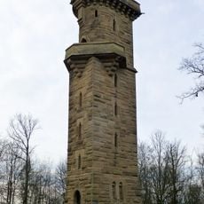
Schweinsberg Tower
1.5 km
Schmollerstraße 56 und 58 (Heilbronn)
2.3 km
Kirche im Dietrich-Bonhoeffer-Gemeindezentrum
1.8 km
Louis-Hentges-Straße 5
2.2 km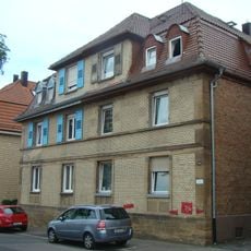
Schmollerstraße 60 und 62 (Heilbronn)
2.3 km
Happelstraße 51
2.4 km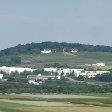
Haigern
2.4 kmReviews
Visited this place? Tap the stars to rate it and share your experience / photos with the community! Try now! You can cancel it anytime.
Discover hidden gems everywhere you go!
From secret cafés to breathtaking viewpoints, skip the crowded tourist spots and find places that match your style. Our app makes it easy with voice search, smart filtering, route optimization, and insider tips from travelers worldwide. Download now for the complete mobile experience.

A unique approach to discovering new places❞
— Le Figaro
All the places worth exploring❞
— France Info
A tailor-made excursion in just a few clicks❞
— 20 Minutes