
Grenzstein Nr. 20 A, des ehemaligen Burgfriedens der Stadt Mühldorf a.Inn, gesetzt 1664/65
Location: Mühldorf am Inn
Address: Wiesenstraße
GPS coordinates: 48.24782,12.54138
Latest update: November 24, 2023 23:44
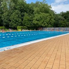
Freibad
642 m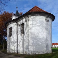
Maria-Eich-Kapelle
534 m
Hofkapelle
637 m
KZ-Friedhof
878 m
Grabmal Friedhofstraße 39 in Mühldorf am Inn
958 m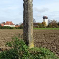
Grenzstein 20C
284 m
Cultural heritage D-1-7741-0265 in Mühldorf am Inn
1.3 km
Städtischer Friedhof
958 m
Grenzstein Nr. 16 (Nord)
871 m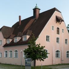
Ehemals Kreiswinterschule
1.1 km
Grenzstein Nr. 20 (Nord)
24 m
Grenzstein Nr. 19 (Nord)
475 m
Grenzstein Nr. 17 (Nord)
584 m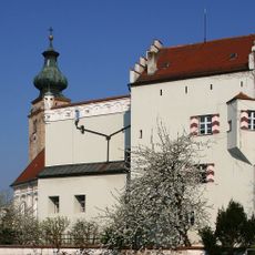
Pfarrhof
1.3 km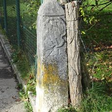
Grenzstein 21
542 m
Cultural heritage D-1-7741-0269 in Mühldorf am Inn
305 m
Grenzstein Nr. 15 (Nord)
1.2 km
Zugehöriger Bundwerkstadel
1.2 km
Innwerksiedlung
115 m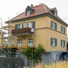
Wohnhaus
1.2 km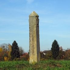
Grenzstein 20B (Mühldorf am Inn; Nord)
270 m
Wohnhaus
1.2 km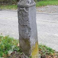
Grenzstein 22
546 m
Heilig-Geist-Spital
1.3 km
Peter und Paul
1.1 km
Sculpture, Work of art
1.1 km
Wayside cross
958 m
Memorial stone, memorial
1.2 kmReviews
Visited this place? Tap the stars to rate it and share your experience / photos with the community! Try now! You can cancel it anytime.
Discover hidden gems everywhere you go!
From secret cafés to breathtaking viewpoints, skip the crowded tourist spots and find places that match your style. Our app makes it easy with voice search, smart filtering, route optimization, and insider tips from travelers worldwide. Download now for the complete mobile experience.

A unique approach to discovering new places❞
— Le Figaro
All the places worth exploring❞
— France Info
A tailor-made excursion in just a few clicks❞
— 20 Minutes