Zschopau, Mining municipality in Erzgebirgskreis, Germany.
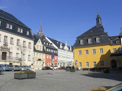
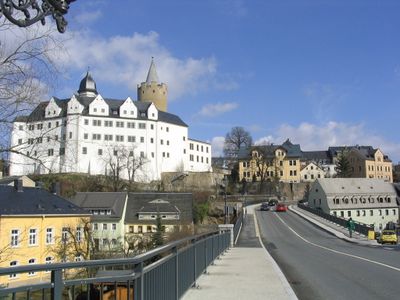
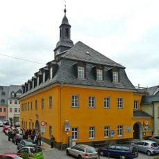
Zschopau is a municipality in Erzgebirgskreis, Saxony, stretching across a valley at about 350 meters elevation. The townscape contains a mix of traditional houses and industrial buildings that reflect different periods of mining activity.
The town grew from a silver and tin mining settlement that became part of the vast mining network across the Ore Mountains region. After German reunification, mining ceased, but the structures and layout from that era remain visible in the landscape.
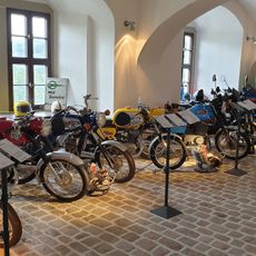
The town displays its mining roots through wooden crafts made by local artisans working in small studios throughout the area. These skills trace back to families of miners who shared their techniques across generations.
Regular bus services connect the town to Dresden and Chemnitz, with the central station serving as a good starting point for exploration. Parking areas are available near the center, making it easy to visit the old mining sites around the area.
The area is designated as a UNESCO World Heritage site for its mining heritage spanning over 800 years. Visitors can observe historic extraction techniques still demonstrated by contemporary craftspeople working in the town.
The community of curious travelers
AroundUs brings together thousands of curated places, local tips, and hidden gems, enriched daily by 60,000 contributors worldwide.