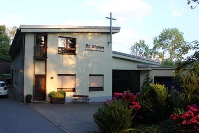
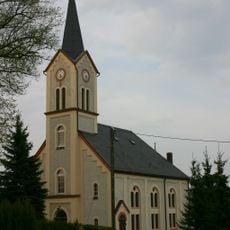
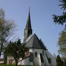
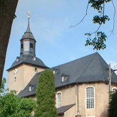
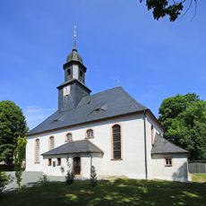
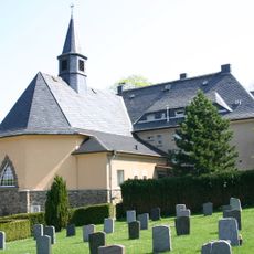
St. Marien-Kirche, Roman Catholic parish church in Zschopau, Germany.
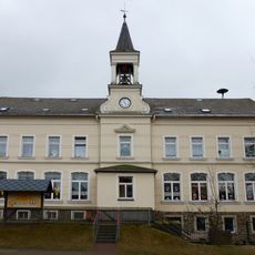
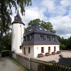
St. Marien-Kirche is a Catholic parish church in Zschopau situated on elevated ground north of the historic center. The modern complex from the 1960s includes the main church building along with a rectory and community hall set within natural surroundings.
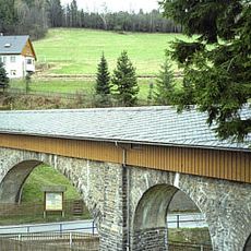
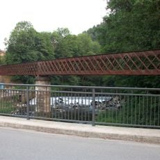
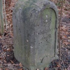
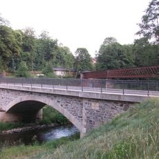
A Marian chapel was authorized in 1454 by Elector Frederick the Gentle and served religious purposes for centuries. After the Reformation in 1539 it became Lutheran, until demolition occurred in 1812 to make way for a stone bridge crossing the Zschopau river.
The church is named after the Virgin Mary and remains an active gathering place for the local Catholic community. Visitors can observe how the space serves both spiritual and social functions in daily life.
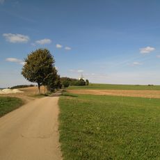
The location sits on a hilltop north of town, offering a peaceful and secluded setting. Its natural surroundings make a visit relaxing, especially if you have time to explore the grounds.
The current building was completed in 1967 and replaced the original medieval chapel that once stood elsewhere. The design by Hubert Paul represents a deliberate departure from older architectural traditions.
The community of curious travelers
AroundUs brings together thousands of curated places, local tips, and hidden gems, enriched daily by 60,000 contributors worldwide.