Büsingen am Hochrhein, German enclave in Baden-Württemberg, Germany
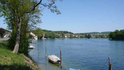
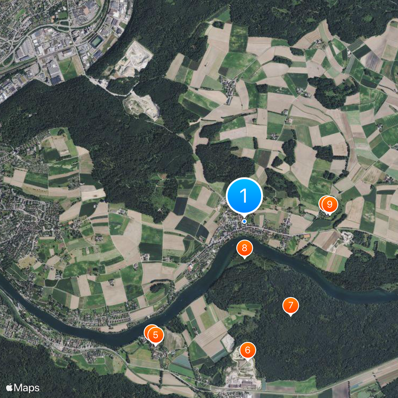
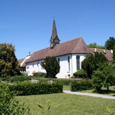
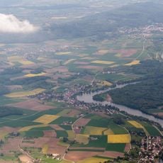
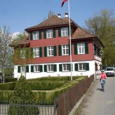
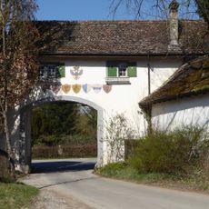
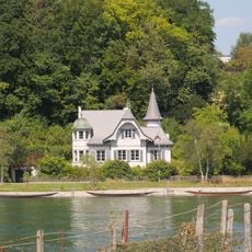
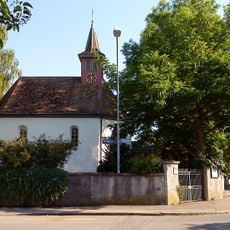
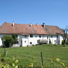
Büsingen am Hochrhein is a German municipality on the northern bank of the Rhine that sits entirely within Swiss territory, covering several square kilometers of settled land. The settlement forms a continuous built-up area with residential houses, shops and public buildings spread along the riverside road and through adjoining side streets.
The municipality stayed part of Germany after 1919 even though most residents had voted to join Switzerland. Compensation agreements never came together at that time, so its status remained unchanged up to the present day.
Residents here speak standard German while maintaining ties to both neighboring communities, moving freely between institutions on either side of the administrative line. Many families have relatives across the boundary and switch between services depending on what suits their daily needs best.
Both currencies work here, with shops usually applying their own exchange rates so customers can pay in francs or euros without trouble. When shopping, keep in mind that some stores follow Swiss opening hours while others stick to German patterns.
Politically part of Germany, the municipality sits inside the Swiss customs zone, allowing goods to move freely across its administrative boundary. This setup lets residents use both systems when needed without facing special controls or formalities.
The community of curious travelers
AroundUs brings together thousands of curated places, local tips, and hidden gems, enriched daily by 60,000 contributors worldwide.