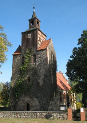
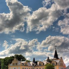
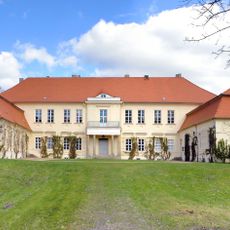
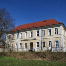
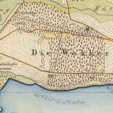
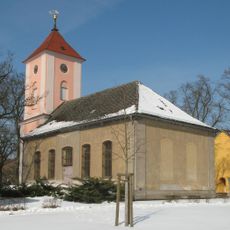
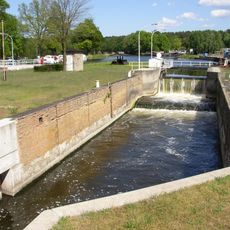
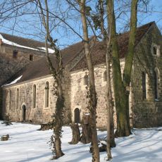
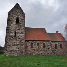
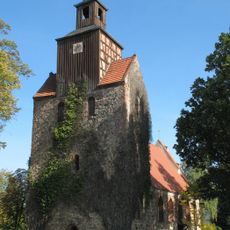
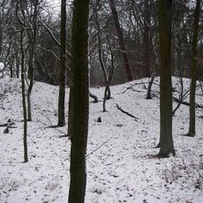
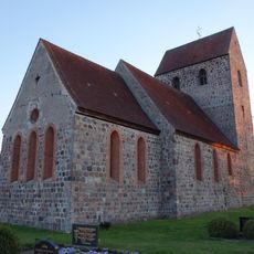
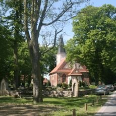
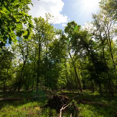
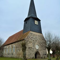
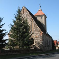
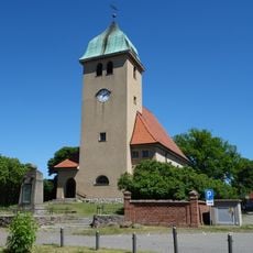
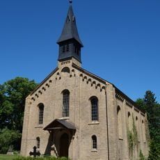
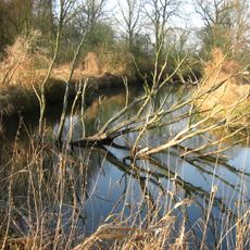
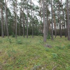
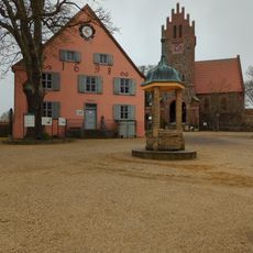
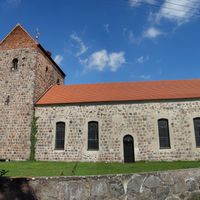
Löwenberger Land, municipality in Oberhavel district, Brandenburg state, Germany
Location: Oberhavel District
Inception: December 31, 1997
Elevation above the sea: 51 m
Shares border with: Liebenwalde, Oranienburg, Kremmen, Rüthnick, Herzberg (Mark), Vielitzsee, Sonnenberg, Gransee, Zehdenick
Website: https://loewenberger-land.de
GPS coordinates: 52.89604,13.15462
Latest update: March 7, 2025 21:05
Schloss Liebenberg
6.8 km
Hoppenrade manor
3 km
Burg Löwenberg
470 m
Nähmaschinenmuseum Sommerfeld
13.4 km
Village church Grüneberg
5.2 km
Schrabsdorf Castle
3.2 km
Village church Nassenheide
9.9 km
Schleuse Malz
14.3 km
Village church Löwenberg
241 m
Village church Bergsdorf
8.2 km
Village church Falkenthal
9.6 km
Burgwall Liebenberg
5.6 km
Village church Gutengermendorf
5 km
Dorfkirche Großmutz
5 km
Liebenberger Bruch
9.2 km
Village church Teschendorf
4.4 km
Dorfkirche Grieben
7.3 km
Bismarck Tower
10 km
Dorfkirche Seebeck
10.2 km
Village church Liebenberg
7 km
Village Church Neuholland
12.4 km
Village church Sommerfeld (Kremmen)
13.1 km
Bücherzelle
13.1 km
Dorfkirche Hohenbruch
10.6 km
Moddersee
6.5 km
Schnelle Havel
14.4 km
Obere Havelniederung
13.9 km
Liebenberger Geschichtsmuseum
6.8 kmReviews
Visited this place? Tap the stars to rate it and share your experience / photos with the community! Try now! You can cancel it anytime.
Discover hidden gems everywhere you go!
From secret cafés to breathtaking viewpoints, skip the crowded tourist spots and find places that match your style. Our app makes it easy with voice search, smart filtering, route optimization, and insider tips from travelers worldwide. Download now for the complete mobile experience.
A unique approach to discovering new places❞
— Le Figaro
All the places worth exploring❞
— France Info
A tailor-made excursion in just a few clicks❞
— 20 Minutes